Area Overview for L14 8UY
Photos of L14 8UY
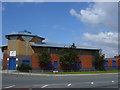
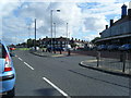
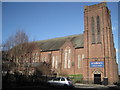
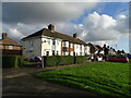
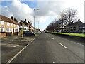
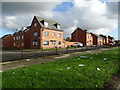
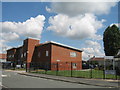
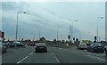
11 photos from this area
Area Information
Key information about the L14 8UY including its size, population, and administrative classification.
- Area Type
- Postcode
- Area Size
- 9095 m²
- Population
- 2698
- Population Density
- 5218 people/km²
House Prices in L14 8UY
81
Properties
£81,643
Average Sold Price
£53,765
Lowest Price
£120,000
Highest Price
Showing 81 properties
| Address | Type | Beds | Baths | Last Sale Price | Last Sale Date | |
|---|---|---|---|---|---|---|
| 89 Ashbury Road, Huyton, L14 8UY | Terraced | 3 | 1 | £120,000 | Mar 2025 | |
| 141 Ashbury Road, Huyton, L14 8UY | house | - | - | £53,765 | Jan 2025 | |
| 135 Ashbury Road, Huyton, L14 8UY | Terraced | 2 | 1 | £92,500 | Nov 2022 | |
| 151 Ashbury Road, Huyton, L14 8UY | Terraced | 3 | 1 | £67,950 | Sep 2020 | |
| 81 Ashbury Road, Huyton, L14 8UY | Terraced | 2 | 1 | £74,000 | Jan 2008 | |
| 103 Ashbury Road, Huyton, L14 8UY | Terraced | 3 | 2 | - | - | |
| 403 Southdean Road, Huyton, L14 8UY | undefined | - | - | - | - | |
| 413 Southdean Road, Huyton, L14 8UY | undefined | - | - | - | - | |
| 355 Southdean Road, Huyton, L14 8UY | undefined | - | - | - | - | |
| 405 Southdean Road, Huyton, L14 8UY | undefined | - | - | - | - |
Page 1 of 9
Energy Efficiency in L14 8UY
Amenities
Schools
| Rank | School | Type | Entry gender | Ages |
|---|
Explore more schools in this area
Go to Schools tabDemographics
Household Size
Family (3-5 people)
most common
Accommodation Type
Houses
most common
Tenure
47
majority
Ethnic Group
White
most common
Religion
N/A
most common
Household Composition
N/A
most common
Age
47
median
Adults (30-64 years)
most common
Household Deprivation
N/A
with no deprivation
NS-SEC
19
in Lower managerial occupations
Explore more demographic insights in this area
Go to Demographics tabPlanning
Planning Constraints
- Flood RiskPremium
- Ramsar Wetland SitesPremium
- Area of Outstanding Natural BeautyPremium
- Protected Nature ReservePremium
- Protected WoodlandPremium