Area Overview for L14 2DE
Photos of L14 2DE
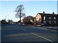
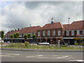

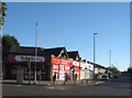
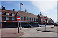
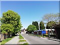
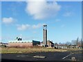

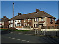

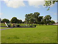
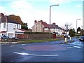
23 photos from this area
Area Information
Key information about the L14 2DE including its size, population, and administrative classification.
- Area Type
- Postcode
- Area Size
- 5.1 hectares
- Population
- 1436
- Population Density
- 3561 people/km²
House Prices in L14 2DE
40
Properties
£118,181
Average Sold Price
£41,500
Lowest Price
£302,000
Highest Price
Showing 40 properties
| Address | Type | Beds | Baths | Last Sale Price | Last Sale Date | |
|---|---|---|---|---|---|---|
| Flat, 371 East Prescot Road, Liverpool, L14 2DE | Flat | - | - | £302,000 | Mar 2024 | |
| 389A East Prescot Road, Liverpool, L14 2DE | house | - | - | £147,000 | Nov 2020 | |
| 407 East Prescot Road, Liverpool, L14 2DE | Semi-detached | 3 | 1 | £143,000 | Jun 2020 | |
| 391 East Prescot Road, Liverpool, L14 2DE | Semi-detached | 3 | 1 | £120,000 | Dec 2019 | |
| 389 East Prescot Road, Liverpool, L14 2DE | house | - | - | £115,000 | Dec 2018 | |
| 399 East Prescot Road, Liverpool, L14 2DE | Semi-detached | 3 | 1 | £115,000 | May 2018 | |
| 427 East Prescot Road, Liverpool, L14 2DE | Detached | 4 | 2 | £228,500 | Mar 2017 | |
| 423 East Prescot Road, Liverpool, L14 2DE | Semi-detached | 3 | - | £124,999 | Dec 2016 | |
| 395 East Prescot Road, Liverpool, L14 2DE | Semi-detached | 3 | 2 | £96,000 | Mar 2016 | |
| 393 East Prescot Road, Liverpool, L14 2DE | Semi-detached | 3 | - | £139,950 | Jun 2010 |
Page 1 of 4
Energy Efficiency in L14 2DE
Amenities
Schools
| Rank | School | Type | Entry gender | Ages |
|---|
Explore more schools in this area
Go to Schools tabDemographics
Household Size
One person
most common
Accommodation Type
Houses
most common
Tenure
56
majority
Ethnic Group
White
most common
Religion
N/A
most common
Household Composition
N/A
most common
Age
47
median
Adults (30-64 years)
most common
Household Deprivation
N/A
with no deprivation
NS-SEC
20
in Lower managerial occupations
Explore more demographic insights in this area
Go to Demographics tabPlanning
Planning Constraints
- Flood RiskPremium
- Ramsar Wetland SitesPremium
- Area of Outstanding Natural BeautyPremium
- Protected Nature ReservePremium
- Protected WoodlandPremium