Area Overview for L12 6QF
Photos of L12 6QF
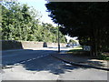
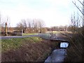
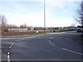
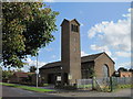
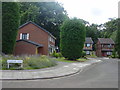
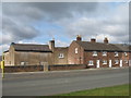
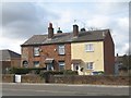
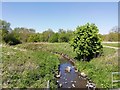
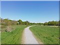
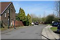
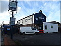
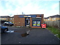
24 photos from this area
Area Information
Key information about the L12 6QF including its size, population, and administrative classification.
- Area Type
- Postcode
- Area Size
- 9132 m²
- Population
- 1947
- Population Density
- 5106 people/km²
House Prices in L12 6QF
20
Properties
£78,840
Average Sold Price
£44,000
Lowest Price
£128,000
Highest Price
Showing 20 properties
| Address | Type | Beds | Baths | Last Sale Price | Last Sale Date | |
|---|---|---|---|---|---|---|
| 245 Princess Drive, Deysbrook, Liverpool, L12 6QF | house | 3 | 1 | £128,000 | Feb 2023 | |
| 225 Princess Drive, Deysbrook, Liverpool, L12 6QF | house | - | - | £110,201 | Dec 2020 | |
| 247 Princess Drive, Deysbrook, Liverpool, L12 6QF | Terraced | 3 | - | £67,000 | Apr 2013 | |
| 239 Princess Drive, Deysbrook, Liverpool, L12 6QF | house | - | - | £44,000 | Nov 2001 | |
| 235 Princess Drive, Deysbrook, Liverpool, L12 6QF | Terraced | - | - | £45,000 | Aug 2001 | |
| 219 Princess Drive, Deysbrook, Liverpool, L12 6QF | Semi-detached | - | - | - | - | |
| 227 Princess Drive, Deysbrook, Liverpool, L12 6QF | house | - | - | - | - | |
| 253 Princess Drive, Deysbrook, Liverpool, L12 6QF | house | - | - | - | - | |
| 229 Princess Drive, Deysbrook, Liverpool, L12 6QF | Terraced | - | - | - | - | |
| 243 Princess Drive, Deysbrook, Liverpool, L12 6QF | Terraced | - | - | - | - |
Page 1 of 2
Energy Efficiency in L12 6QF
Amenities
Schools
| Rank | School | Type | Entry gender | Ages |
|---|
Explore more schools in this area
Go to Schools tabDemographics
Household Size
One person
most common
Accommodation Type
Houses
most common
Tenure
46
majority
Ethnic Group
White
most common
Religion
N/A
most common
Household Composition
N/A
most common
Age
47
median
Adults (30-64 years)
most common
Household Deprivation
N/A
with no deprivation
NS-SEC
22
in Lower managerial occupations
Explore more demographic insights in this area
Go to Demographics tabPlanning
Planning Constraints
- Flood RiskPremium
- Ramsar Wetland SitesPremium
- Area of Outstanding Natural BeautyPremium
- Protected Nature ReservePremium
- Protected WoodlandPremium