Area Overview for L12 0HA
Photos of L12 0HA
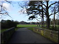
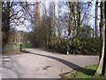
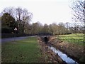
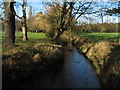
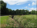
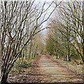
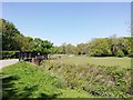
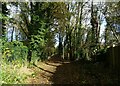
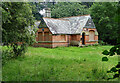
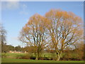
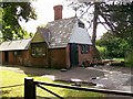
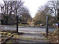
25 photos from this area
Area Information
Key information about the L12 0HA including its size, population, and administrative classification.
- Area Type
- Postcode
- Area Size
- 73.5 hectares
- Population
- 1370
- Population Density
- 1226 people/km²
House Prices in L12 0HA
34
Properties
£201,667
Average Sold Price
£135,000
Lowest Price
£270,000
Highest Price
Showing 34 properties
| Address | Type | Beds | Baths | Last Sale Price | Last Sale Date | |
|---|---|---|---|---|---|---|
| Home Farm Lodge, Croxteth Hall Lane, Croxteth, Liverpool, L12 0HA | Detached | 3 | - | £200,000 | Aug 2012 | |
| Laundry Cottage Croxteth Park, Croxteth Hall Lane, Croxteth, Liverpool, L12 0HA | house | - | - | £135,000 | Oct 2010 | |
| Little Wood Lodge Croxteth Park, Croxteth Hall Lane, Croxteth, Liverpool, L12 0HA | Detached | 5 | 4 | £270,000 | Feb 2002 | |
| West Derby Lodge Croxteth Park, West Derby Village, Liverpool, L12 0HA | Land | - | 1 | - | - | |
| Old Kennels House Croxteth Park, Croxteth Hall Lane, Croxteth, Liverpool, L12 0HA | Detached | 4 | - | - | - | |
| 6, Stable Yard, Croxteth Hall Lane, Croxteth, Liverpool, L12 0HA | Terraced | - | - | - | - | |
| 2, Mull Wood Cottages, Croxteth Hall Lane, Croxteth, Liverpool, L12 0HA | Semi-detached | - | - | - | - | |
| 8, Stable Yard, Croxteth Hall Lane, Croxteth, Liverpool, L12 0HA | Semi-detached | - | - | - | - | |
| 1, Mull Wood Cottages, Croxteth Hall Lane, Croxteth, Liverpool, L12 0HA | Semi-detached | - | - | - | - | |
| 4, Stable Yard, Croxteth Hall Lane, Croxteth, Liverpool, L12 0HA | Terraced | - | - | - | - |
Page 1 of 4
Energy Efficiency in L12 0HA
Amenities
Schools
| Rank | School | Type | Entry gender | Ages |
|---|
Explore more schools in this area
Go to Schools tabDemographics
Household Size
Family (3-5 people)
most common
Accommodation Type
Houses
most common
Tenure
74
majority
Ethnic Group
White
most common
Religion
N/A
most common
Household Composition
N/A
most common
Age
47
median
Adults (30-64 years)
most common
Household Deprivation
N/A
with no deprivation
NS-SEC
33
in Lower managerial occupations
Explore more demographic insights in this area
Go to Demographics tabPlanning
Planning Constraints
- Flood RiskPremium
- Ramsar Wetland SitesPremium
- Area of Outstanding Natural BeautyPremium
- Protected Nature ReservePremium
- Protected WoodlandPremium