Area Overview for L10 2JW
Photos of L10 2JW
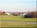
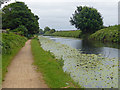
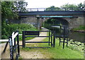
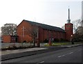
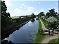
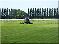
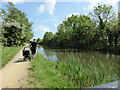
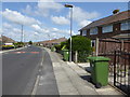
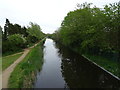
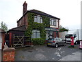
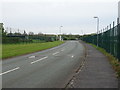
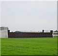
39 photos from this area
Area Information
Key information about the L10 2JW including its size, population, and administrative classification.
- Area Type
- Postcode
- Area Size
- 6322 m²
- Population
- 1360
- Population Density
- 4242 people/km²
House Prices in L10 2JW
18
Properties
£134,595
Average Sold Price
£59,950
Lowest Price
£197,000
Highest Price
Showing 18 properties
| Address | Type | Beds | Baths | Last Sale Price | Last Sale Date | |
|---|---|---|---|---|---|---|
| 88 Aintree Lane, Aintree, L10 2JW | Semi-detached | 3 | 1 | £197,000 | Sep 2019 | |
| 86 Aintree Lane, Aintree, L10 2JW | Semi-detached | 3 | 2 | £165,000 | May 2018 | |
| 116 Aintree Lane, Aintree, L10 2JW | house | - | - | £126,000 | May 2016 | |
| 92 Aintree Lane, Aintree, L10 2JW | house | - | - | £165,000 | Nov 2015 | |
| 114 Aintree Lane, Aintree, L10 2JW | house | - | - | £159,000 | Sep 2014 | |
| 100 Aintree Lane, Aintree, L10 2JW | house | - | - | £145,000 | Sep 2014 | |
| 90 Aintree Lane, Aintree, L10 2JW | Terraced | - | - | £125,000 | Jan 2006 | |
| 110 Aintree Lane, Aintree, L10 2JW | Semi-detached | 3 | - | £120,000 | Jan 2003 | |
| 108 Aintree Lane, Aintree, L10 2JW | Semi-detached | - | - | £59,950 | Nov 2000 | |
| 94 Aintree Lane, Aintree, L10 2JW | Semi-detached | - | - | £84,000 | Jun 2000 |
Page 1 of 2
Energy Efficiency in L10 2JW
Amenities
Schools
| Rank | School | Type | Entry gender | Ages |
|---|
Explore more schools in this area
Go to Schools tabDemographics
Household Size
Two person
most common
Accommodation Type
Houses
most common
Tenure
90
majority
Ethnic Group
White
most common
Religion
N/A
most common
Household Composition
N/A
most common
Age
47
median
Adults (30-64 years)
most common
Household Deprivation
N/A
with no deprivation
NS-SEC
31
in Lower managerial occupations
Explore more demographic insights in this area
Go to Demographics tabPlanning
Planning Constraints
- Flood RiskPremium
- Ramsar Wetland SitesPremium
- Area of Outstanding Natural BeautyPremium
- Protected Nature ReservePremium
- Protected WoodlandPremium