Area Overview for L10 1NB
Photos of L10 1NB
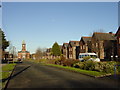
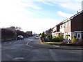
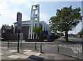
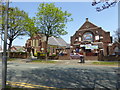
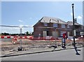
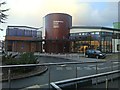
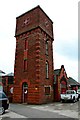
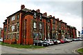
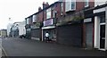
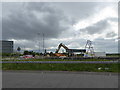
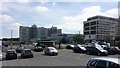
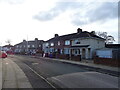
27 photos from this area
Area Information
Key information about the L10 1NB including its size, population, and administrative classification.
- Area Type
- Postcode
- Area Size
- 1.4 hectares
- Population
- 1183
- Population Density
- 1606 people/km²
House Prices in L10 1NB
44
Properties
£138,853
Average Sold Price
£50,750
Lowest Price
£307,500
Highest Price
Showing 44 properties
| Address | Type | Beds | Baths | Last Sale Price | Last Sale Date | |
|---|---|---|---|---|---|---|
| 159 Sherwoods Lane, Aintree, L10 1NB | Semi-detached | 4 | 2 | £250,000 | Nov 2024 | |
| 135 Sherwoods Lane, Aintree, L10 1NB | Semi-detached | 3 | 1 | £307,500 | Aug 2024 | |
| 95 Sherwoods Lane, Aintree, L10 1NB | Semi-detached | 2 | 1 | £122,500 | Dec 2021 | |
| 167 Sherwoods Lane, Aintree, L10 1NB | Semi-detached | 3 | 1 | £153,500 | Feb 2020 | |
| 125 Sherwoods Lane, Aintree, L10 1NB | house | - | - | £125,000 | Apr 2019 | |
| 153 Sherwoods Lane, Aintree, L10 1NB | Semi-detached | 3 | 1 | £137,000 | May 2018 | |
| 113 Sherwoods Lane, Aintree, L10 1NB | Semi-detached | 3 | 1 | £121,000 | May 2017 | |
| 119 Sherwoods Lane, Aintree, L10 1NB | house | - | - | £110,000 | Mar 2017 | |
| 97 Sherwoods Lane, Aintree, L10 1NB | Detached | 4 | 1 | £130,000 | Oct 2016 | |
| 151 Sherwoods Lane, Aintree, L10 1NB | Semi-detached | 4 | - | £170,000 | Jul 2016 |
Page 1 of 5
Energy Efficiency in L10 1NB
Amenities
Schools
| Rank | School | Type | Entry gender | Ages |
|---|
Explore more schools in this area
Go to Schools tabDemographics
Household Size
Family (3-5 people)
most common
Accommodation Type
Houses
most common
Tenure
91
majority
Ethnic Group
White
most common
Religion
N/A
most common
Household Composition
N/A
most common
Age
47
median
Adults (30-64 years)
most common
Household Deprivation
N/A
with no deprivation
NS-SEC
35
in Lower managerial occupations
Explore more demographic insights in this area
Go to Demographics tabPlanning
Planning Constraints
- Flood RiskPremium
- Ramsar Wetland SitesPremium
- Area of Outstanding Natural BeautyPremium
- Protected Nature ReservePremium
- Protected WoodlandPremium