Area Overview for L1 4JS
Photos of L1 4JS

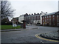

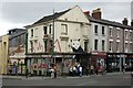
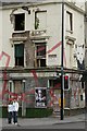

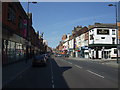

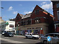
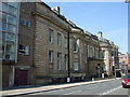
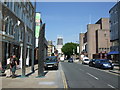

100 photos from this area
Area Information
Key information about the L1 4JS including its size, population, and administrative classification.
- Area Type
- Postcode
- Area Size
- 4843 m²
- Population
- 1458
- Population Density
- 9980 people/km²
House Prices in L1 4JS
53
Properties
£120,710
Average Sold Price
£49,950
Lowest Price
£250,000
Highest Price
Showing 53 properties
| Address | Type | Beds | Baths | Last Sale Price | Last Sale Date | |
|---|---|---|---|---|---|---|
| 7 Dukes Terrace, Liverpool, L1 4JS | Flat | - | - | £185,000 | Mar 2025 | |
| 4 Dukes Terrace, Liverpool, L1 4JS | Flat | - | - | £170,000 | Dec 2023 | |
| 45 Dukes Terrace, Liverpool, L1 4JS | Flat | 2 | 1 | £134,500 | Oct 2023 | |
| 3 Dukes Terrace, Liverpool, L1 4JS | Flat | - | - | £112,500 | Aug 2023 | |
| 18 Dukes Terrace, Liverpool, L1 4JS | Flat | 2 | 1 | £250,000 | Dec 2022 | |
| 37 Dukes Terrace, Liverpool, L1 4JS | Flat | 1 | 1 | £125,000 | Jul 2022 | |
| 19 Dukes Terrace, Liverpool, L1 4JS | Flat | - | - | £131,000 | Nov 2021 | |
| 31 Dukes Terrace, Liverpool, L1 4JS | Flat | 2 | 1 | £101,000 | Dec 2020 | |
| 38 Dukes Terrace, Liverpool, L1 4JS | Flat | 2 | 1 | £118,000 | Aug 2020 | |
| 47 Dukes Terrace, Liverpool, L1 4JS | Flat | - | - | £126,500 | Jun 2019 |
Page 1 of 6
Energy Efficiency in L1 4JS
Amenities
Schools
| Rank | School | Type | Entry gender | Ages |
|---|
Explore more schools in this area
Go to Schools tabDemographics
Household Size
One person
most common
Accommodation Type
Flats
most common
Tenure
22
majority
Ethnic Group
White
most common
Religion
N/A
most common
Household Composition
N/A
most common
Age
22
median
Young Adults (15-29 years)
most common
Household Deprivation
N/A
with no deprivation
NS-SEC
20
in Lower managerial occupations
Explore more demographic insights in this area
Go to Demographics tabPlanning
Planning Constraints
- Flood RiskPremium
- Ramsar Wetland SitesPremium
- Area of Outstanding Natural BeautyPremium
- Protected Nature ReservePremium
- Protected WoodlandPremium