Area Overview for Kendal Nether Ward
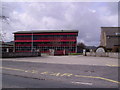
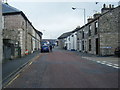
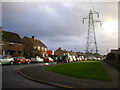
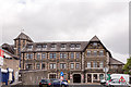
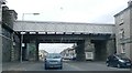
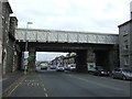
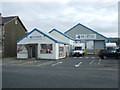
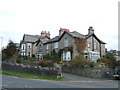
Photos of Kendal Nether Ward
Area Information
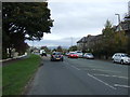
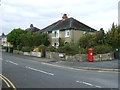
Kendal Nether Ward is a compact district covering 6.3 square kilometres within the borough of Kendal. The location sits in a context where local life revolves around a small, settled population. This area functions as a residential neighbourhood where property ownership dominates the landscape. You will find a community that has evolved over decades, characterised by long-term residency rather than frequent turnover. Daily life here involves navigating a space where the built environment blends with surrounding green areas. The ward offers a distinct character that separates it from nearby urban centres while remaining accessible. Residents enjoy proximity to local amenities without the density found in larger towns. The area provides a setting where quiet streets meet established infrastructure. Buying a home in Kendal Nether Ward means entering a community defined by stability and established roots. The size of the district ensures that local services remain focused and manageable. Living in Kendal Nether Ward presents an environment where the scale of development supports a more intimate residential experience.
- Area Type
- District Borough Unitary Ward
- Area Size
- 6.3 km²
- Population
- Not available
- Population Density
- Not available
Demographics
The community in Kendal Nether Ward displays a clear demographic skew towards an older population. The median age for residents stands at 70 years, indicating that the area is home to many pensioners and retired families. This age profile suggests a community where daily life often centres on retirement activities or later-stage career choices. Household composition and accommodation type data are available as aggregate totals for the ward. You will find that 70% of homes in the area are owner-occupied, reflecting a strong tendency for residents to purchase property rather than rent. This high rate of ownership aligns with the older age profile, as buyers usually settle in areas like this once they have completed their careers. The ward does not provide specific breakdowns for predominant ethnic groups or religion within the text. However, the homogeneity of the age group gives the locality a uniform feel. For those seeking homes in Kendal Nether Ward, the demographic makeup suggests a neighbourhood organised around the needs of the elderly and retired. This translates to lower turnover and a stable social fabric.
Household Size
Accommodation Type
Tenure
Ethnic Group
Religion
Household Composition
Age
Household Deprivation
NS-SEC
Explore more demographic insights in this area
Go to Demographics tabPlanning
Planning Constraints
- Flood RiskPremium
- Ramsar Wetland SitesPremium
- Area of Outstanding Natural BeautyPremium
- Protected Nature ReservePremium
- Protected WoodlandPremium
- Crime RiskPremium