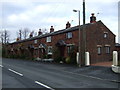
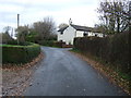
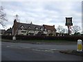
Area Overview for Hoole Ward
Photos of Hoole Ward

Area Information
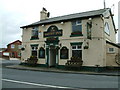
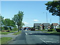
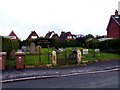
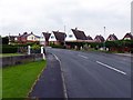
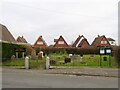
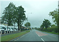
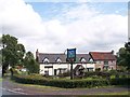
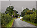
Living in Hoole Ward offers a distinct character within Cheshire West and Chester. This district forms part of the combined Newton & Hoole ward alongside its neighbouring areas. The geographical footprint covers 12.9 square kilometres, providing a defined space for residents to navigate daily. Historical records indicate first mentions in 1195 by Lucian, a monk of Chester Abbey, who described the location as the Valley of Demons. This name stemmed from local legends regarding hiding places for thieves and robbers found in the area's landscape. Despite this dark historical moniker, Hoole now functions as a residential ward adjacent to the city of Chester. The location sits along significant historical routes, specifically a Roman road that branches from Eastgate. This thoroughfare runs via Frodsham Street and Brook Street, connecting through Flookersbrook into Newton Hollows. Finding homes in Hoole Ward means accessing a zone with deep roots stretching back to the medieval period. The current population reflects steady growth, with the ward holding approximately 14,784 residents according to the 2021 census figures. You will find that daily life here balances proximity to the city with its own established local identity. The area retains a sense of continuity, marked by ancient roads and historic references that inhabitants still navigate today.
- Area Type
- District Borough Unitary Ward
- Area Size
- 12.9 km²
- Population
- Not available
- Population Density
- Not available
Demographics
The community profile within Hoole Ward reflects a settled population with clear generational patterns. Census data reveals a median age of 70 years across the ward. This figure places Hoole Ward as an area with a significantly older demographic profile compared to national averages. The age breakdown indicates a large proportion of residents fall into the senior cohort. Households in this ward demonstrate a high level of stability, evidenced by an 82% home ownership rate. This statistic confirms that the majority of people living in Hoole Ward have purchased their properties rather than renting them. Such a high ownership figure typically suggests a community that has resided in their homes for extended periods. There is little evidence of transient populations within this specific ward boundary. The data provided does not specify detailed breakdowns for household composition or predominant ethnic groups beyond aggregate totals. Nor does it detail specific religious affiliations for the population. These aggregated figures contribute to an overall picture of a stable, long-term resident population. The absence of younger housing markets correlates with the high median age. Consequently, local services and amenities likely cater primarily to the needs of older adults and those supporting them within the home.
Household Size
Accommodation Type
Tenure
Ethnic Group
Religion
Household Composition
Age
Household Deprivation
NS-SEC
Explore more demographic insights in this area
Go to Demographics tabPlanning
Planning Constraints
- Flood RiskPremium
- Ramsar Wetland SitesPremium
- Area of Outstanding Natural BeautyPremium
- Protected Nature ReservePremium
- Protected WoodlandPremium