Area Overview for FY8 5TE
Photos of FY8 5TE
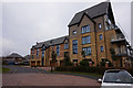
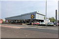
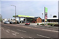
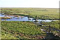
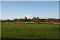
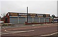
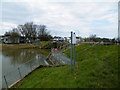
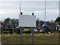
33 photos from this area
Area Information
Key information about the FY8 5TE including its size, population, and administrative classification.
- Area Type
- Postcode
- Area Size
- 4575 m²
- Population
- 1403
- Population Density
- 755 people/km²
House Prices in FY8 5TE
23
Properties
£270,867
Average Sold Price
£84,950
Lowest Price
£1,006,000
Highest Price
Showing 23 properties
| Address | Type | Beds | Baths | Last Sale Price | Last Sale Date | |
|---|---|---|---|---|---|---|
| 5 Burnham Place, Lytham St Annes, FY8 5TE | house | - | - | £470,000 | May 2025 | |
| 16 Burnham Place, Lytham St Annes, FY8 5TE | Detached | 4 | 2 | £373,000 | Jan 2025 | |
| 32 Burnham Place, Lytham St Annes, FY8 5TE | house | 3 | 2 | £220,000 | Aug 2024 | |
| 18 Burnham Place, Lytham St Annes, FY8 5TE | house | 3 | 2 | £220,000 | Dec 2023 | |
| 11 Burnham Place, Lytham St Annes, FY8 5TE | house | - | - | £105,000 | Dec 2022 | |
| 2 Burnham Place, Lytham St Annes, FY8 5TE | Terraced | 3 | 2 | £180,000 | May 2020 | |
| 14 Burnham Place, Lytham St Annes, FY8 5TE | Terraced | 3 | 1 | £194,000 | Aug 2018 | |
| 20 Burnham Place, Lytham St Annes, FY8 5TE | Terraced | 3 | 2 | £1,006,000 | Jul 2018 | |
| 22 Burnham Place, Lytham St Annes, FY8 5TE | Terraced | 3 | 3 | £1,006,000 | Jul 2018 | |
| 9 Burnham Place, Lytham St Annes, FY8 5TE | Terraced | 3 | 1 | £179,000 | Sep 2016 |
Page 1 of 3
Energy Efficiency in FY8 5TE
Amenities
Schools
| Rank | School | Type | Entry gender | Ages |
|---|
Explore more schools in this area
Go to Schools tabDemographics
Household Size
Two person
most common
Accommodation Type
Houses
most common
Tenure
65
majority
Ethnic Group
White
most common
Religion
N/A
most common
Household Composition
N/A
most common
Age
47
median
Adults (30-64 years)
most common
Household Deprivation
N/A
with no deprivation
NS-SEC
40
in Lower managerial occupations
Explore more demographic insights in this area
Go to Demographics tabPlanning
Planning Constraints
- Flood RiskPremium
- Ramsar Wetland SitesPremium
- Area of Outstanding Natural BeautyPremium
- Protected Nature ReservePremium
- Protected WoodlandPremium