Area Overview for FY8 4BY
Photos of FY8 4BY
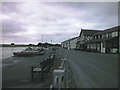
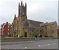
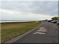
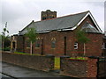

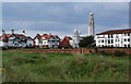
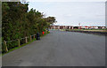
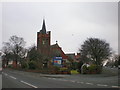
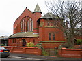
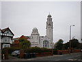
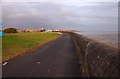
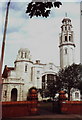
100 photos from this area
Area Information
Key information about the FY8 4BY including its size, population, and administrative classification.
- Area Type
- Postcode
- Area Size
- 1.4 hectares
- Population
- 1442
- Population Density
- 4913 people/km²
House Prices in FY8 4BY
46
Properties
£199,818
Average Sold Price
£2,250
Lowest Price
£490,000
Highest Price
Showing 46 properties
| Address | Type | Beds | Baths | Last Sale Price | Last Sale Date | |
|---|---|---|---|---|---|---|
| 107 Rossall Road, Lytham St Annes, FY8 4BY | Terraced | 3 | 2 | £260,000 | Jan 2025 | |
| 141 Rossall Road, Lytham St Annes, FY8 4BY | Terraced | 2 | 1 | £273,500 | Jun 2024 | |
| 101 Rossall Road, Lytham St Annes, FY8 4BY | house | 5 | 2 | £490,000 | Dec 2023 | |
| 117 Rossall Road, Lytham St Annes, FY8 4BY | Terraced | 3 | 1 | £315,000 | Jun 2023 | |
| 73 Rossall Road, Lytham St Annes, FY8 4BY | Terraced | 3 | 2 | £2,250 | Mar 2021 | |
| 127 Rossall Road, Lytham St Annes, FY8 4BY | Terraced | 2 | 1 | £240,000 | Feb 2021 | |
| 59 Rossall Road, Lytham St Annes, FY8 4BY | Terraced | 3 | 1 | £205,000 | Aug 2019 | |
| 105 Rossall Road, Lytham St Annes, FY8 4BY | house | - | - | £245,000 | Jun 2018 | |
| 137 Rossall Road, Lytham St Annes, FY8 4BY | house | - | - | £215,000 | Jan 2018 | |
| 63 Rossall Road, Lytham St Annes, FY8 4BY | Terraced | 3 | 1 | £219,000 | Dec 2017 |
Page 1 of 5
Energy Efficiency in FY8 4BY
Amenities
Schools
| Rank | School | Type | Entry gender | Ages |
|---|
Explore more schools in this area
Go to Schools tabDemographics
Household Size
Family (3-5 people)
most common
Accommodation Type
Houses
most common
Tenure
84
majority
Ethnic Group
White
most common
Religion
N/A
most common
Household Composition
N/A
most common
Age
47
median
Adults (30-64 years)
most common
Household Deprivation
N/A
with no deprivation
NS-SEC
50
in Lower managerial occupations
Explore more demographic insights in this area
Go to Demographics tabPlanning
Planning Constraints
- Flood RiskPremium
- Ramsar Wetland SitesPremium
- Area of Outstanding Natural BeautyPremium
- Protected Nature ReservePremium
- Protected WoodlandPremium