Area Overview for FY7 7NN
Photos of FY7 7NN

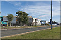
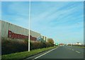
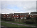
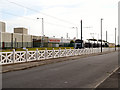
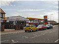
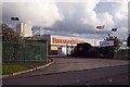
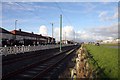
31 photos from this area
Area Information
Key information about the FY7 7NN including its size, population, and administrative classification.
- Area Type
- Postcode
- Area Size
- 8747 m²
- Population
- 1350
- Population Density
- 9184 people/km²
House Prices in FY7 7NN
42
Properties
£71,994
Average Sold Price
£59,000
Lowest Price
£85,000
Highest Price
Showing 42 properties
| Address | Type | Beds | Baths | Last Sale Price | Last Sale Date | |
|---|---|---|---|---|---|---|
| 17 Hazeldene Road, Fleetwood, FY7 7NN | house | - | - | £77,000 | Oct 2024 | |
| 14 Hazeldene Road, Fleetwood, FY7 7NN | house | - | - | £77,000 | Jun 2023 | |
| 16 Hazeldene Road, Fleetwood, FY7 7NN | Terraced | 3 | 1 | £69,000 | Oct 2019 | |
| 19 Hazeldene Road, Fleetwood, FY7 7NN | Terraced | 3 | 1 | £70,000 | Feb 2018 | |
| 34 Hazeldene Road, Fleetwood, FY7 7NN | Terraced | 3 | 1 | £59,000 | Jan 2015 | |
| 31 Hazeldene Road, Fleetwood, FY7 7NN | house | - | - | £79,000 | Dec 2014 | |
| 15 Hazeldene Road, Fleetwood, FY7 7NN | house | - | - | £85,000 | Jan 2009 | |
| 26 Hazeldene Road, Fleetwood, FY7 7NN | Terraced | - | - | £59,950 | Jul 2004 | |
| 39 Hazeldene Road, Fleetwood, FY7 7NN | house | - | - | - | - | |
| 5 Hazeldene Road, Fleetwood, FY7 7NN | house | - | - | - | - |
Page 1 of 5
Energy Efficiency in FY7 7NN
Amenities
Schools
| Rank | School | Type | Entry gender | Ages |
|---|
Explore more schools in this area
Go to Schools tabDemographics
Household Size
Family (3-5 people)
most common
Accommodation Type
Houses
most common
Tenure
48
majority
Ethnic Group
White
most common
Religion
N/A
most common
Household Composition
N/A
most common
Age
47
median
Adults (30-64 years)
most common
Household Deprivation
N/A
with no deprivation
NS-SEC
15
in Lower managerial occupations
Explore more demographic insights in this area
Go to Demographics tabPlanning
Planning Constraints
- Flood RiskPremium
- Ramsar Wetland SitesPremium
- Area of Outstanding Natural BeautyPremium
- Protected Nature ReservePremium
- Protected WoodlandPremium