Area Overview for FY6 7XN
Photos of FY6 7XN
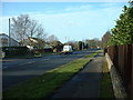
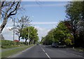
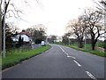
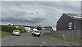
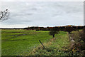
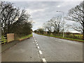


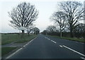
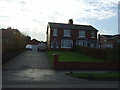
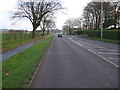
19 photos from this area
Area Information
Key information about the FY6 7XN including its size, population, and administrative classification.
- Area Type
- Postcode
- Area Size
- 5.4 hectares
- Population
- 2452
- Population Density
- 1161 people/km²
House Prices in FY6 7XN
76
Properties
£184,197
Average Sold Price
£130,037
Lowest Price
£255,000
Highest Price
Showing 76 properties
| Address | Type | Beds | Baths | Last Sale Price | Last Sale Date | |
|---|---|---|---|---|---|---|
| 119 Sapphire Drive, Poulton Le Fylde, FY6 7XN | Detached | 2 | 1 | £210,000 | May 2025 | |
| 45 Sapphire Drive, Poulton Le Fylde, FY6 7XN | house | - | - | £255,000 | Feb 2024 | |
| 7A Sapphire Drive, Poulton Le Fylde, FY6 7XN | house | - | - | £204,995 | Nov 2022 | |
| 97 Sapphire Drive, Poulton Le Fylde, FY6 7XN | house | - | - | £130,037 | Aug 2022 | |
| 99 Sapphire Drive, Poulton Le Fylde, FY6 7XN | house | - | - | £130,087 | Aug 2022 | |
| 95 Sapphire Drive, Poulton Le Fylde, FY6 7XN | house | - | - | £130,087 | Jul 2022 | |
| 93 Sapphire Drive, Poulton Le Fylde, FY6 7XN | house | - | - | £130,087 | Jul 2022 | |
| 5A Sapphire Drive, Poulton Le Fylde, FY6 7XN | Retail | 3 | 2 | £242,000 | Jun 2022 | |
| 107 Sapphire Drive, Poulton Le Fylde, FY6 7XN | house | - | - | £130,087 | May 2022 | |
| 115 Sapphire Drive, Poulton Le Fylde, FY6 7XN | Semi-detached | 2 | 2 | £196,995 | Feb 2022 |
Page 1 of 8
Energy Efficiency in FY6 7XN
Amenities
Schools
| Rank | School | Type | Entry gender | Ages |
|---|
Explore more schools in this area
Go to Schools tabDemographics
Household Size
Two person
most common
Accommodation Type
Houses
most common
Tenure
83
majority
Ethnic Group
White
most common
Religion
N/A
most common
Household Composition
N/A
most common
Age
47
median
Adults (30-64 years)
most common
Household Deprivation
N/A
with no deprivation
NS-SEC
43
in Lower managerial occupations
Explore more demographic insights in this area
Go to Demographics tabPlanning
Planning Constraints
- Flood RiskPremium
- Ramsar Wetland SitesPremium
- Area of Outstanding Natural BeautyPremium
- Protected Nature ReservePremium
- Protected WoodlandPremium