Area Overview for FY5 3NF
Photos of FY5 3NF
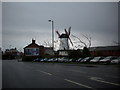
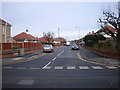
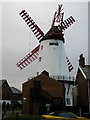
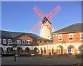
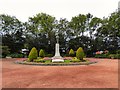

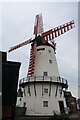
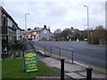
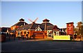


50 photos from this area
Area Information
Key information about the FY5 3NF including its size, population, and administrative classification.
- Area Type
- Postcode
- Area Size
- 3985 m²
- Population
- 2406
- Population Density
- 2516 people/km²
House Prices in FY5 3NF
24
Properties
£68,962
Average Sold Price
£33,000
Lowest Price
£97,000
Highest Price
Showing 24 properties
| Address | Type | Beds | Baths | Last Sale Price | Last Sale Date | |
|---|---|---|---|---|---|---|
| 26 Heather Close, Thornton Cleveleys, FY5 3NF | Flat | 2 | 1 | £80,000 | Apr 2025 | |
| 19 Heather Close, Thornton Cleveleys, FY5 3NF | Flat | 2 | 1 | £82,500 | Mar 2025 | |
| 21 Heather Close, Thornton Cleveleys, FY5 3NF | Flat | - | - | £85,000 | Apr 2024 | |
| 18 Heather Close, Thornton Cleveleys, FY5 3NF | Flat | - | - | £87,500 | Apr 2023 | |
| 10 Heather Close, Thornton Cleveleys, FY5 3NF | Retail | 2 | 1 | £66,500 | May 2022 | |
| 6 Heather Close, Thornton Cleveleys, FY5 3NF | Retail | 1 | 1 | £57,250 | Apr 2022 | |
| 17 Heather Close, Thornton Cleveleys, FY5 3NF | Flat | - | - | £86,500 | Feb 2022 | |
| 20 Heather Close, Thornton Cleveleys, FY5 3NF | Flat | - | - | £70,000 | Jan 2021 | |
| 5 Heather Close, Thornton Cleveleys, FY5 3NF | Flat | - | - | £52,950 | Aug 2018 | |
| 15 Heather Close, Thornton Cleveleys, FY5 3NF | Flat | - | - | £51,000 | Jan 2018 |
Page 1 of 3
Energy Efficiency in FY5 3NF
Amenities
Schools
| Rank | School | Type | Entry gender | Ages |
|---|
Explore more schools in this area
Go to Schools tabDemographics
Household Size
Two person
most common
Accommodation Type
Houses
most common
Tenure
78
majority
Ethnic Group
White
most common
Religion
N/A
most common
Household Composition
N/A
most common
Age
47
median
Adults (30-64 years)
most common
Household Deprivation
N/A
with no deprivation
NS-SEC
35
in Lower managerial occupations
Explore more demographic insights in this area
Go to Demographics tabPlanning
Planning Constraints
- Flood RiskPremium
- Ramsar Wetland SitesPremium
- Area of Outstanding Natural BeautyPremium
- Protected Nature ReservePremium
- Protected WoodlandPremium