Area Overview for Davenham, Moulton & Kingsmead Ward
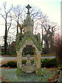
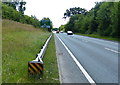
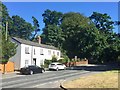
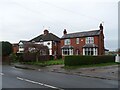
Photos of Davenham, Moulton & Kingsmead Ward
Area Information
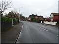
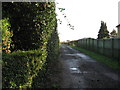
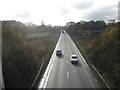
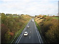
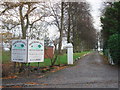
Davenham, Moulton & Kingsmead Ward sits within Cheshire West and Chester UA in North West England, serving as an electoral boundary covering three distinct settlements. This district spans 17.9 km² and hosts a population of 1,659 residents. The ward falls under the Mid Cheshire constituency area and contains the villages of Davenham, Moulton, and Kingsmead. Living in this part of Cheshire means settling into a compact community where daily life revolves around local village centres. The area is situated in the Northwich region, offering a specific character defined by its smaller town layout rather than urban density. You will find yourself part of a neighbourhood where the environment is relatively spread out due to the land area available to the small population. The ward is one of 45 constituencies within the unitary authority, providing a structured level of local governance. Residents here experience a setting that blends residential quiet with the practicalities of a functioning ward infrastructure. There are no major planning constraints related to protected nature reserves or Ramsar sites, which influences how development might occur in the future. The primary focus for those considering homes in Davenham, Moulton & Kingsmead Ward is the balance between rural tranquility and access to the wider Cheshire network.
- Area Type
- District Borough Unitary Ward
- Area Size
- 17.9 km²
- Population
- 1659
- Population Density
- 93 people/km²
Demographics
The community in Davenham, Moulton & Kingsmead Ward displays a significant demographic shift towards older residents. The median age for the population reaches 70, indicating that this ward has a much older demographic profile than the national average. Over 70% of residents fall into the over-75 age bracket, which colours the social and economic fabric of the area. This age distribution suggests a neighbourhood often populated by retirees or long-term locals rather than young families actively seeking space. Home ownership stands at 82% within the ward, creating a stable environment where most residents reside in their own homes. This high rate of ownership typically translates to lower tenant movement and a established community feel. The ward does not contain specific data detailing household composition types or predominant ethnic groups in the provided records, so the social picture relies heavily on the age and ownership metrics. The relatively low population density of 93 people per km² further enhances the quiet nature of living here. For anyone looking at schools near Davenham, Moulton & Kingsmead Ward, the high median age suggests that local educational facilities may cater more to adult learners or community groups than a large cohort of school-aged children. The accommodation stock reflects this picture, with a predominance of long-term owner-occupied properties. Living in this area means joining a settlement where tenure security is common and the average resident has likely lived locally for decades.
Household Size
Accommodation Type
Tenure
Ethnic Group
Religion
Household Composition
Age
Household Deprivation
NS-SEC
Explore more demographic insights in this area
Go to Demographics tabPlanning
Planning Constraints
- Flood RiskPremium
- Ramsar Wetland SitesPremium
- Area of Outstanding Natural BeautyPremium
- Protected Nature ReservePremium
- Protected WoodlandPremium
- Crime RiskPremium