Area Overview for CW9 8JB
Photos of CW9 8JB

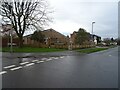
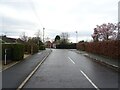
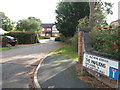
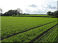
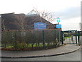
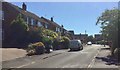
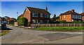
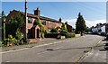

12 photos from this area
Area Information
Key information about the CW9 8JB including its size, population, and administrative classification.
- Area Type
- Postcode
- Area Size
- 2.1 hectares
- Population
- 1782
- Population Density
- 1198 people/km²
House Prices in CW9 8JB
42
Properties
£212,528
Average Sold Price
£45,500
Lowest Price
£772,500
Highest Price
Showing 42 properties
| Address | Type | Beds | Baths | Last Sale Price | Last Sale Date | |
|---|---|---|---|---|---|---|
| 25 Firth Fields, Davenham, Northwich, CW9 8JB | Semi-detached | 4 | 2 | £408,000 | Oct 2023 | |
| 23 Firth Fields, Davenham, Northwich, CW9 8JB | house | 2 | 1 | £340,000 | Mar 2023 | |
| 24 Firth Fields, Davenham, Northwich, CW9 8JB | house | - | - | £194,000 | May 2021 | |
| 22 Firth Fields, Davenham, Northwich, CW9 8JB | house | - | - | £400,000 | Mar 2021 | |
| Robins Nest, 26 Firth Fields, Davenham, Northwich, CW9 8JB | house | - | - | £250,000 | Nov 2019 | |
| Dolobran, 19 Firth Fields, Davenham, Northwich, CW9 8JB | house | 2 | 1 | £772,500 | May 2018 | |
| Lavender Cottage, 13 Firth Fields, Davenham, Northwich, CW9 8JB | Cottage | 3 | - | £270,000 | May 2018 | |
| 32 Firth Fields, Davenham, Northwich, CW9 8JB | Terraced | 3 | 1 | £173,500 | Apr 2017 | |
| 33 Firth Fields, Davenham, Northwich, CW9 8JB | house | - | - | £275,000 | Apr 2016 | |
| 7 Firth Fields, Davenham, Northwich, CW9 8JB | Semi-detached | 2 | 1 | £215,000 | Aug 2007 |
Page 1 of 5
Energy Efficiency in CW9 8JB
Amenities
Schools
| Rank | School | Type | Entry gender | Ages |
|---|
Explore more schools in this area
Go to Schools tabDemographics
Household Size
Two person
most common
Accommodation Type
Houses
most common
Tenure
88
majority
Ethnic Group
White
most common
Religion
N/A
most common
Household Composition
N/A
most common
Age
47
median
Adults (30-64 years)
most common
Household Deprivation
N/A
with no deprivation
NS-SEC
49
in Lower managerial occupations
Explore more demographic insights in this area
Go to Demographics tabPlanning
Planning Constraints
- Flood RiskPremium
- Ramsar Wetland SitesPremium
- Area of Outstanding Natural BeautyPremium
- Protected Nature ReservePremium
- Protected WoodlandPremium