Area Overview for CW9 5PH
Photos of CW9 5PH
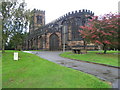
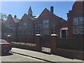
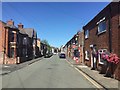
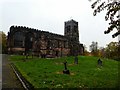
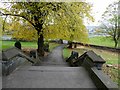
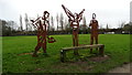
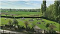
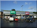
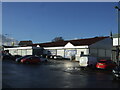
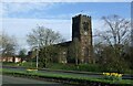
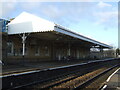
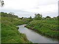
28 photos from this area
Area Information
Key information about the CW9 5PH including its size, population, and administrative classification.
- Area Type
- Postcode
- Area Size
- 2987 m²
- Population
- 1978
- Population Density
- 1546 people/km²
House Prices in CW9 5PH
25
Properties
£168,667
Average Sold Price
£67,000
Lowest Price
£220,000
Highest Price
Showing 25 properties
| Address | Type | Beds | Baths | Last Sale Price | Last Sale Date | |
|---|---|---|---|---|---|---|
| 103 Church Road, Northwich, CW9 5PH | house | - | - | £210,000 | May 2025 | |
| 107 Church Road, Northwich, CW9 5PH | house | - | - | £220,000 | Oct 2022 | |
| 111 Church Road, Northwich, CW9 5PH | Terraced | 5 | 2 | £220,000 | Feb 2021 | |
| 97 Church Road, Northwich, CW9 5PH | Terraced | - | - | £145,000 | May 2018 | |
| 105 Church Road, Northwich, CW9 5PH | Semi-detached | - | - | £150,000 | Oct 2003 | |
| 101 Church Road, Northwich, CW9 5PH | Semi-detached | 3 | 1 | £67,000 | Jul 2002 | |
| Office, Victoria House, Church Road, Northwich, CW9 5PH | Office | - | - | - | - | |
| 113 Church Road, Northwich, CW9 5PH | Semi-detached | - | - | - | - | |
| 109 Church Road, Northwich, CW9 5PH | Semi-detached | - | - | - | - | |
| 9, Victoria House, Church Road, Northwich, CW9 5PH | Flat | - | - | - | - |
Page 1 of 3
Energy Efficiency in CW9 5PH
Amenities
Schools
| Rank | School | Type | Entry gender | Ages |
|---|
Explore more schools in this area
Go to Schools tabDemographics
Household Size
One person
most common
Accommodation Type
Houses
most common
Tenure
39
majority
Ethnic Group
White
most common
Religion
N/A
most common
Household Composition
N/A
most common
Age
47
median
Adults (30-64 years)
most common
Household Deprivation
N/A
with no deprivation
NS-SEC
24
in Lower managerial occupations
Explore more demographic insights in this area
Go to Demographics tabPlanning
Planning Constraints
- Flood RiskPremium
- Ramsar Wetland SitesPremium
- Area of Outstanding Natural BeautyPremium
- Protected Nature ReservePremium
- Protected WoodlandPremium