Area Overview for CW8 4ET
Photos of CW8 4ET
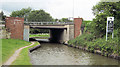
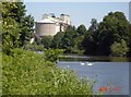
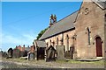
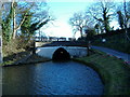
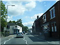
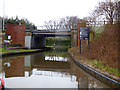
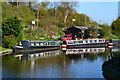
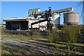
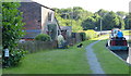
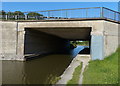
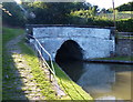
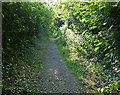
81 photos from this area
Area Information
Key information about the CW8 4ET including its size, population, and administrative classification.
- Area Type
- Postcode
- Area Size
- 2.0 hectares
- Population
- 1559
- Population Density
- 1162 people/km²
House Prices in CW8 4ET
33
Properties
£107,421
Average Sold Price
£46,000
Lowest Price
£215,000
Highest Price
Showing 33 properties
| Address | Type | Beds | Baths | Last Sale Price | Last Sale Date | |
|---|---|---|---|---|---|---|
| 1 Manor Drive, Barnton, Northwich, CW8 4ET | house | - | - | £160,000 | Jan 2025 | |
| 14 Manor Drive, Barnton, Northwich, CW8 4ET | house | - | - | £215,000 | Dec 2024 | |
| 9 Manor Drive, Barnton, Northwich, CW8 4ET | Semi-detached | 3 | 1 | £172,000 | Dec 2018 | |
| 3 Manor Drive, Barnton, Northwich, CW8 4ET | Semi-detached | 3 | 1 | £158,000 | May 2018 | |
| 20 Manor Drive, Barnton, Northwich, CW8 4ET | Semi-detached | 3 | - | £125,000 | Aug 2015 | |
| 24 Manor Drive, Barnton, Northwich, CW8 4ET | house | - | - | £106,000 | May 2015 | |
| 40 Manor Drive, Barnton, Northwich, CW8 4ET | house | - | - | £97,000 | Jan 2014 | |
| 15 Manor Drive, Barnton, Northwich, CW8 4ET | Semi-detached | 3 | - | £115,000 | Jan 2014 | |
| 34 Manor Drive, Barnton, Northwich, CW8 4ET | Semi-detached | 3 | - | £123,000 | Sep 2013 | |
| 6 Manor Drive, Barnton, Northwich, CW8 4ET | house | 3 | - | £133,000 | Jul 2012 |
Page 1 of 4
Energy Efficiency in CW8 4ET
Amenities
Schools
| Rank | School | Type | Entry gender | Ages |
|---|
Explore more schools in this area
Go to Schools tabDemographics
Household Size
Two person
most common
Accommodation Type
Houses
most common
Tenure
70
majority
Ethnic Group
White
most common
Religion
N/A
most common
Household Composition
N/A
most common
Age
47
median
Adults (30-64 years)
most common
Household Deprivation
N/A
with no deprivation
NS-SEC
31
in Lower managerial occupations
Explore more demographic insights in this area
Go to Demographics tabPlanning
Planning Constraints
- Flood RiskPremium
- Ramsar Wetland SitesPremium
- Area of Outstanding Natural BeautyPremium
- Protected Nature ReservePremium
- Protected WoodlandPremium