Area Overview for CW8 3PN
Photos of CW8 3PN
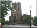
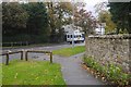
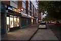
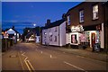
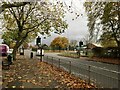
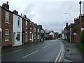
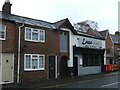
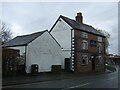
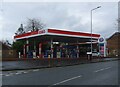
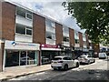
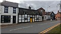
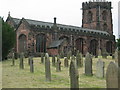
24 photos from this area
Area Information
Key information about the CW8 3PN including its size, population, and administrative classification.
- Area Type
- Postcode
- Area Size
- 3.6 hectares
- Population
- 1757
- Population Density
- 322 people/km²
House Prices in CW8 3PN
32
Properties
£370,538
Average Sold Price
£140,000
Lowest Price
£630,000
Highest Price
Showing 32 properties
| Address | Type | Beds | Baths | Last Sale Price | Last Sale Date | |
|---|---|---|---|---|---|---|
| 11A Shady Brook Lane, Weaverham, Northwich, CW8 3PN | Bungalow | 3 | 2 | £630,000 | Nov 2025 | |
| 1 Shady Brook Lane, Weaverham, Northwich, CW8 3PN | Detached | 4 | - | £480,000 | Nov 2022 | |
| Holly House, Shady Brook Lane, Weaverham, Northwich, CW8 3PN | house | - | - | £590,000 | Nov 2020 | |
| 11 Shady Brook Lane, Weaverham, Northwich, CW8 3PN | Bungalow | - | - | £390,000 | Apr 2018 | |
| 7 Shady Brook Lane, Weaverham, Northwich, CW8 3PN | Detached | 4 | 2 | £415,000 | Dec 2017 | |
| 25 Shady Brook Lane, Weaverham, Northwich, CW8 3PN | house | - | - | £405,000 | Sep 2015 | |
| 21 Shady Brook Lane, Weaverham, Northwich, CW8 3PN | Bungalow | 3 | - | £290,000 | Jul 2015 | |
| 5 Shady Brook Lane, Weaverham, Northwich, CW8 3PN | house | - | - | £390,000 | Apr 2014 | |
| Croft Cottage, Shady Brook Lane, Weaverham, Northwich, CW8 3PN | Detached | 4 | 2 | £429,000 | Sep 2012 | |
| Belvedere, Shady Brook Lane, Weaverham, Northwich, CW8 3PN | Bungalow | - | - | £168,000 | Apr 2011 |
Page 1 of 4
Energy Efficiency in CW8 3PN
Amenities
Schools
| Rank | School | Type | Entry gender | Ages |
|---|
Explore more schools in this area
Go to Schools tabDemographics
Household Size
Two person
most common
Accommodation Type
Houses
most common
Tenure
85
majority
Ethnic Group
White
most common
Religion
N/A
most common
Household Composition
N/A
most common
Age
47
median
Adults (30-64 years)
most common
Household Deprivation
N/A
with no deprivation
NS-SEC
45
in Lower managerial occupations
Explore more demographic insights in this area
Go to Demographics tabPlanning
Planning Constraints
- Flood RiskPremium
- Ramsar Wetland SitesPremium
- Area of Outstanding Natural BeautyPremium
- Protected Nature ReservePremium
- Protected WoodlandPremium