Area Overview for CW8 3JN
Photos of CW8 3JN
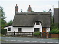
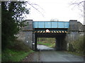
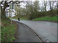
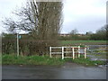
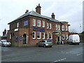
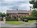
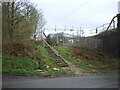
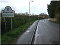
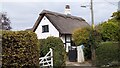
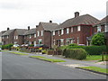
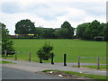
13 photos from this area
Area Information
Key information about the CW8 3JN including its size, population, and administrative classification.
- Area Type
- Postcode
- Area Size
- 2.4 hectares
- Population
- 1620
- Population Density
- 1545 people/km²
House Prices in CW8 3JN
30
Properties
£201,528
Average Sold Price
£90,000
Lowest Price
£410,000
Highest Price
Showing 30 properties
| Address | Type | Beds | Baths | Last Sale Price | Last Sale Date | |
|---|---|---|---|---|---|---|
| 27 Wallerscote Road, Weaverham, Northwich, CW8 3JN | house | - | - | £185,000 | Apr 2023 | |
| 29 Wallerscote Road, Weaverham, Northwich, CW8 3JN | Semi-detached | 4 | 2 | £228,000 | Aug 2022 | |
| 25 Wallerscote Road, Weaverham, Northwich, CW8 3JN | Semi-detached | 4 | - | £227,000 | Jul 2022 | |
| 20A Wallerscote Road, Weaverham, Northwich, CW8 3JN | Flat | - | - | £90,000 | Jun 2022 | |
| 35 Wallerscote Road, Weaverham, Northwich, CW8 3JN | Semi-detached | 3 | 1 | £185,000 | Dec 2021 | |
| 26A Wallerscote Road, Weaverham, Northwich, CW8 3JN | Bungalow | - | - | £366,500 | Dec 2021 | |
| 18A Wallerscote Road, Weaverham, Northwich, CW8 3JN | Flat | - | - | £93,000 | Oct 2021 | |
| 10 Wallerscote Road, Weaverham, Northwich, CW8 3JN | house | 4 | - | £410,000 | Jul 2021 | |
| 43 Wallerscote Road, Weaverham, Northwich, CW8 3JN | house | - | - | £163,000 | May 2017 | |
| 47 Wallerscote Road, Weaverham, Northwich, CW8 3JN | Semi-detached | 3 | 1 | £169,950 | Dec 2016 |
Page 1 of 3
Energy Efficiency in CW8 3JN
Amenities
Schools
| Rank | School | Type | Entry gender | Ages |
|---|
Explore more schools in this area
Go to Schools tabDemographics
Household Size
Family (3-5 people)
most common
Accommodation Type
Houses
most common
Tenure
73
majority
Ethnic Group
White
most common
Religion
N/A
most common
Household Composition
N/A
most common
Age
47
median
Adults (30-64 years)
most common
Household Deprivation
N/A
with no deprivation
NS-SEC
28
in Lower managerial occupations
Explore more demographic insights in this area
Go to Demographics tabPlanning
Planning Constraints
- Flood RiskPremium
- Ramsar Wetland SitesPremium
- Area of Outstanding Natural BeautyPremium
- Protected Nature ReservePremium
- Protected WoodlandPremium