Area Overview for CW5 8HF
Photos of CW5 8HF
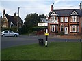
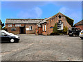
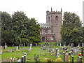
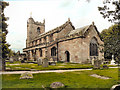
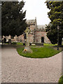
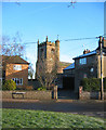
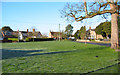
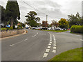
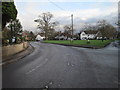
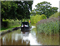
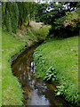
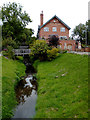
39 photos from this area
Area Information
Key information about the CW5 8HF including its size, population, and administrative classification.
- Area Type
- Postcode
- Area Size
- 10.0 hectares
- Population
- 2110
- Population Density
- 55 people/km²
House Prices in CW5 8HF
13
Properties
£243,806
Average Sold Price
£117,500
Lowest Price
£345,000
Highest Price
Showing 13 properties
| Address | Type | Beds | Baths | Last Sale Price | Last Sale Date | |
|---|---|---|---|---|---|---|
| Hazel Dene, New Road, Wrenbury, CW5 8HF | Bungalow | - | - | £261,000 | Nov 2017 | |
| Wayside, New Road, Wrenbury, CW5 8HF | Bungalow | - | - | £315,000 | Sep 2017 | |
| Yew Tree Lodge, New Road, Wrenbury, CW5 8HF | Bungalow | 3 | 1 | £345,000 | Jun 2017 | |
| Springfield, New Road, Wrenbury, CW5 8HF | Semi-detached | 3 | 1 | £210,000 | May 2015 | |
| Rose Glen, New Road, Wrenbury, CW5 8HF | Semi-detached | 3 | 1 | £195,000 | Feb 2015 | |
| West View, New Road, Wrenbury, CW5 8HF | Semi-detached | - | - | £249,950 | May 2008 | |
| Windyridge, New Road, Wrenbury, CW5 8HF | Detached | 3 | 1 | £117,500 | Feb 2003 | |
| Elm House, New Road, Wrenbury, CW5 8HF | Detached | - | - | £257,000 | Mar 1999 | |
| Stonington, New Road, Wrenbury, CW5 8HF | house | 4 | 2 | - | - | |
| Brookside, New Road, Wrenbury, CW5 8HF | Detached | 4 | 2 | - | - |
Page 1 of 2
Energy Efficiency in CW5 8HF
Amenities
Schools
| Rank | School | Type | Entry gender | Ages |
|---|
Explore more schools in this area
Go to Schools tabDemographics
Household Size
Two person
most common
Accommodation Type
Houses
most common
Tenure
77
majority
Ethnic Group
White
most common
Religion
N/A
most common
Household Composition
N/A
most common
Age
47
median
Adults (30-64 years)
most common
Household Deprivation
N/A
with no deprivation
NS-SEC
39
in Lower managerial occupations
Explore more demographic insights in this area
Go to Demographics tabPlanning
Planning Constraints
- Flood RiskPremium
- Ramsar Wetland SitesPremium
- Area of Outstanding Natural BeautyPremium
- Protected Nature ReservePremium
- Protected WoodlandPremium