Area Overview for CW5 8DE
Photos of CW5 8DE
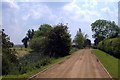
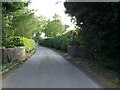
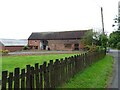
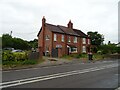
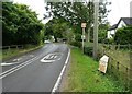
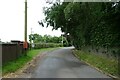
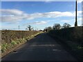
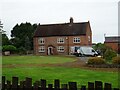
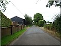
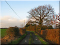
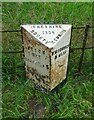
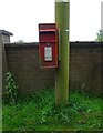
12 photos from this area
Area Information
Key information about the CW5 8DE including its size, population, and administrative classification.
- Area Type
- Postcode
- Area Size
- 26.1 hectares
- Population
- 2667
- Population Density
- 64 people/km²
House Prices in CW5 8DE
32
Properties
£394,563
Average Sold Price
£75,000
Lowest Price
£915,000
Highest Price
Showing 32 properties
| Address | Type | Beds | Baths | Last Sale Price | Last Sale Date | |
|---|---|---|---|---|---|---|
| Moreton Croft, Sheppenhall Lane, Aston, CW5 8DE | Detached | 3 | 2 | £340,000 | Aug 2025 | |
| Plas Tirion, Sheppenhall Lane, Aston, CW5 8DE | house | 4 | 2 | £417,500 | Dec 2024 | |
| The Lilacs, Sheppenhall Lane, Aston, CW5 8DE | Detached | 4 | 2 | £444,000 | Aug 2024 | |
| Middlefields, Sheppenhall Lane, Aston, CW5 8DE | Detached | 2 | 1 | £301,000 | Jul 2024 | |
| Whitegates, Sheppenhall Lane, Aston, CW5 8DE | Bungalow | 4 | - | £485,000 | Mar 2024 | |
| Elm House, Sheppenhall Lane, Aston, CW5 8DE | Detached | 5 | 3 | £915,000 | Dec 2023 | |
| Rowan Cottage, Sheppenhall Lane, Aston, CW5 8DE | Detached | 3 | 2 | £420,000 | Jan 2023 | |
| Helmsley House, Sheppenhall Lane, Aston, CW5 8DE | house | - | - | £473,000 | Sep 2021 | |
| Westview, Sheppenhall Lane, Aston, CW5 8DE | house | - | - | £482,000 | May 2021 | |
| Norwood, Sheppenhall Lane, Aston, CW5 8DE | Bungalow | 3 | 2 | £452,000 | Jan 2021 |
Page 1 of 4
Energy Efficiency in CW5 8DE
Amenities
Schools
| Rank | School | Type | Entry gender | Ages |
|---|
Explore more schools in this area
Go to Schools tabDemographics
Household Size
Two person
most common
Accommodation Type
Houses
most common
Tenure
81
majority
Ethnic Group
White
most common
Religion
N/A
most common
Household Composition
N/A
most common
Age
47
median
Adults (30-64 years)
most common
Household Deprivation
N/A
with no deprivation
NS-SEC
43
in Lower managerial occupations
Explore more demographic insights in this area
Go to Demographics tabPlanning
Planning Constraints
- Flood RiskPremium
- Ramsar Wetland SitesPremium
- Area of Outstanding Natural BeautyPremium
- Protected Nature ReservePremium
- Protected WoodlandPremium