Area Overview for CW5 7AJ
Photos of CW5 7AJ
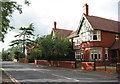
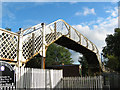
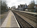
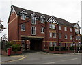
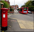

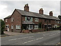
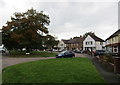
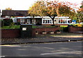
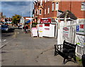
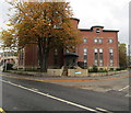
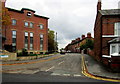
78 photos from this area
Area Information
Key information about the CW5 7AJ including its size, population, and administrative classification.
- Area Type
- Postcode
- Area Size
- 3.3 hectares
- Population
- 1720
- Population Density
- 2697 people/km²
House Prices in CW5 7AJ
31
Properties
£194,208
Average Sold Price
£60,000
Lowest Price
£315,000
Highest Price
Showing 31 properties
| Address | Type | Beds | Baths | Last Sale Price | Last Sale Date | |
|---|---|---|---|---|---|---|
| 21 Western Avenue, Nantwich, CW5 7AJ | Semi-detached | 3 | 1 | £275,000 | Feb 2025 | |
| 31 Western Avenue, Nantwich, CW5 7AJ | house | - | - | £289,950 | Dec 2022 | |
| 4 Western Avenue, Nantwich, CW5 7AJ | house | 3 | - | £230,000 | Sep 2021 | |
| 13 Western Avenue, Nantwich, CW5 7AJ | house | - | - | £315,000 | Jan 2018 | |
| 29 Western Avenue, Nantwich, CW5 7AJ | Semi-detached | 3 | 1 | £175,750 | Sep 2015 | |
| 19 Western Avenue, Nantwich, CW5 7AJ | Semi-detached | 3 | - | £185,000 | Sep 2014 | |
| 20 Western Avenue, Nantwich, CW5 7AJ | house | - | - | £180,000 | Apr 2013 | |
| 16 Western Avenue, Nantwich, CW5 7AJ | Semi-detached | - | - | £165,000 | Dec 2012 | |
| 28 Western Avenue, Nantwich, CW5 7AJ | house | 3 | - | £180,000 | Apr 2011 | |
| 17 Western Avenue, Nantwich, CW5 7AJ | Semi-detached | 3 | - | £170,000 | Sep 2010 |
Page 1 of 4
Energy Efficiency in CW5 7AJ
Amenities
Schools
| Rank | School | Type | Entry gender | Ages |
|---|
Explore more schools in this area
Go to Schools tabDemographics
Household Size
Two person
most common
Accommodation Type
Houses
most common
Tenure
90
majority
Ethnic Group
White
most common
Religion
N/A
most common
Household Composition
N/A
most common
Age
47
median
Adults (30-64 years)
most common
Household Deprivation
N/A
with no deprivation
NS-SEC
44
in Lower managerial occupations
Explore more demographic insights in this area
Go to Demographics tabPlanning
Planning Constraints
- Flood RiskPremium
- Ramsar Wetland SitesPremium
- Area of Outstanding Natural BeautyPremium
- Protected Nature ReservePremium
- Protected WoodlandPremium