Area Overview for CW5 6SE
Photos of CW5 6SE
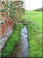
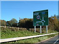
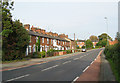
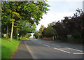
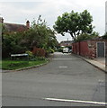
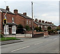
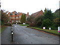
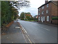
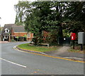
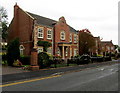
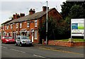
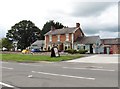
41 photos from this area
Area Information
Key information about the CW5 6SE including its size, population, and administrative classification.
- Area Type
- Postcode
- Area Size
- 3705 m²
- Population
- 1469
- Population Density
- 5248 people/km²
House Prices in CW5 6SE
46
Properties
£105,310
Average Sold Price
£74,950
Lowest Price
£151,383
Highest Price
Showing 46 properties
| Address | Type | Beds | Baths | Last Sale Price | Last Sale Date | |
|---|---|---|---|---|---|---|
| 34 Wright Court, Nantwich, CW5 6SE | Flat | 1 | 1 | £90,000 | Dec 2024 | |
| 25 Wright Court, Nantwich, CW5 6SE | Flat | - | - | £130,000 | May 2024 | |
| 20 Wright Court, Nantwich, CW5 6SE | Flat | 2 | 1 | £118,000 | Apr 2024 | |
| 31 Wright Court, Nantwich, CW5 6SE | Flat | 2 | 1 | £122,500 | Dec 2023 | |
| 45 Wright Court, Nantwich, CW5 6SE | Flat | 1 | 1 | £92,000 | Jul 2023 | |
| 10 Wright Court, Nantwich, CW5 6SE | Flat | 2 | - | £150,000 | Jul 2023 | |
| 11 Wright Court, Nantwich, CW5 6SE | Flat | - | - | £112,000 | Mar 2023 | |
| 1 Wright Court, Nantwich, CW5 6SE | Flat | - | - | £74,950 | Nov 2021 | |
| 26 Wright Court, Nantwich, CW5 6SE | Flat | - | - | £130,000 | Jul 2021 | |
| 7 Wright Court, Nantwich, CW5 6SE | Flat | 2 | 1 | £110,000 | Mar 2021 |
Page 1 of 5
Energy Efficiency in CW5 6SE
Amenities
Schools
| Rank | School | Type | Entry gender | Ages |
|---|
Explore more schools in this area
Go to Schools tabDemographics
Household Size
One person
most common
Accommodation Type
Houses
most common
Tenure
61
majority
Ethnic Group
White
most common
Religion
N/A
most common
Household Composition
N/A
most common
Age
47
median
Adults (30-64 years)
most common
Household Deprivation
N/A
with no deprivation
NS-SEC
39
in Lower managerial occupations
Explore more demographic insights in this area
Go to Demographics tabPlanning
Planning Constraints
- Flood RiskPremium
- Ramsar Wetland SitesPremium
- Area of Outstanding Natural BeautyPremium
- Protected Nature ReservePremium
- Protected WoodlandPremium