Area Overview for CW5 6JZ
Photos of CW5 6JZ
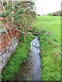
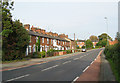
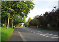
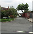
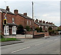
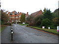
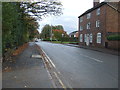
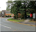
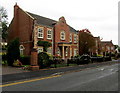
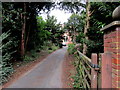
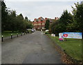
41 photos from this area
Area Information
Key information about the CW5 6JZ including its size, population, and administrative classification.
- Area Type
- Postcode
- Area Size
- 9599 m²
- Population
- 1334
- Population Density
- 902 people/km²
House Prices in CW5 6JZ
28
Properties
£164,895
Average Sold Price
£34,000
Lowest Price
£292,500
Highest Price
Showing 28 properties
| Address | Type | Beds | Baths | Last Sale Price | Last Sale Date | |
|---|---|---|---|---|---|---|
| 79 Birchin Lane, Nantwich, CW5 6JZ | house | 3 | 1 | £285,000 | Apr 2024 | |
| 78 Birchin Lane, Nantwich, CW5 6JZ | Semi-detached | 2 | 1 | £217,500 | Mar 2023 | |
| 97 Birchin Lane, Nantwich, CW5 6JZ | Semi-detached | 3 | 1 | £292,500 | Oct 2022 | |
| 68 Birchin Lane, Nantwich, CW5 6JZ | Bungalow | - | - | £190,598 | Apr 2022 | |
| 74 Birchin Lane, Nantwich, CW5 6JZ | Bungalow | - | - | £180,000 | Apr 2021 | |
| 91 Birchin Lane, Nantwich, CW5 6JZ | house | 3 | 1 | £250,000 | Jan 2021 | |
| 77 Birchin Lane, Nantwich, CW5 6JZ | Semi-detached | 3 | 1 | £212,000 | Dec 2020 | |
| 105 Birchin Lane, Nantwich, CW5 6JZ | Terraced | 3 | 1 | £207,500 | Jul 2019 | |
| 70 Birchin Lane, Nantwich, CW5 6JZ | Bungalow | 2 | 1 | £162,500 | May 2019 | |
| 103 Birchin Lane, Nantwich, CW5 6JZ | house | - | - | £236,500 | Feb 2017 |
Page 1 of 3
Energy Efficiency in CW5 6JZ
Amenities
Schools
| Rank | School | Type | Entry gender | Ages |
|---|
Explore more schools in this area
Go to Schools tabDemographics
Household Size
Two person
most common
Accommodation Type
Houses
most common
Tenure
82
majority
Ethnic Group
White
most common
Religion
N/A
most common
Household Composition
N/A
most common
Age
47
median
Adults (30-64 years)
most common
Household Deprivation
N/A
with no deprivation
NS-SEC
40
in Lower managerial occupations
Explore more demographic insights in this area
Go to Demographics tabPlanning
Planning Constraints
- Flood RiskPremium
- Ramsar Wetland SitesPremium
- Area of Outstanding Natural BeautyPremium
- Protected Nature ReservePremium
- Protected WoodlandPremium