Area Overview for CW3 0HF
Photos of CW3 0HF
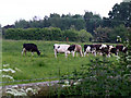
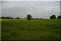
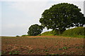
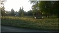
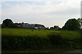
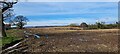
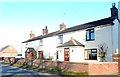
14 photos from this area
Area Information
Key information about the CW3 0HF including its size, population, and administrative classification.
- Area Type
- Postcode
- Area Size
- 28.8 hectares
- Population
- 2667
- Population Density
- 64 people/km²
House Prices in CW3 0HF
32
Properties
£410,286
Average Sold Price
£144,500
Lowest Price
£825,000
Highest Price
Showing 32 properties
| Address | Type | Beds | Baths | Last Sale Price | Last Sale Date | |
|---|---|---|---|---|---|---|
| Moonpenny Cottage, Audlem Road, Audlem, CW3 0HF | house | - | - | £585,000 | Sep 2020 | |
| Corbrook Grange, Audlem Road, Audlem, CW3 0HF | Detached | 7 | 7 | £825,000 | Dec 2017 | |
| Little Heath Cottage, Audlem Road, Audlem, CW3 0HF | house | - | - | £375,000 | Dec 2016 | |
| 2, Jukes Cottages, Audlem Road, Audlem, CW3 0HF | Bungalow | - | - | £196,500 | May 2011 | |
| Corbrook Lodge, Audlem Road, Audlem, CW3 0HF | Detached | 4 | 3 | £500,000 | May 2010 | |
| 1, Cedar Court, Audlem Road, Audlem, CW3 0HF | Flat | - | - | £246,000 | Jul 2009 | |
| Birds Nest, Audlem Road, Audlem, CW3 0HF | house | 3 | 1 | £144,500 | Apr 2002 | |
| 1, The Coach House, Audlem Road, Audlem, CW3 0HF | Detached | 4 | 2 | - | - | |
| 9, Cedar Court, Audlem Road, Audlem, CW3 0HF | Flat | - | - | - | - | |
| 7, Cedar Court, Audlem Road, Audlem, CW3 0HF | Flat | - | - | - | - |
Page 1 of 4
Energy Efficiency in CW3 0HF
Amenities
Schools
| Rank | School | Type | Entry gender | Ages |
|---|
Explore more schools in this area
Go to Schools tabDemographics
Household Size
Two person
most common
Accommodation Type
Houses
most common
Tenure
81
majority
Ethnic Group
White
most common
Religion
N/A
most common
Household Composition
N/A
most common
Age
47
median
Adults (30-64 years)
most common
Household Deprivation
N/A
with no deprivation
NS-SEC
43
in Lower managerial occupations
Explore more demographic insights in this area
Go to Demographics tabPlanning
Planning Constraints
- Flood RiskPremium
- Ramsar Wetland SitesPremium
- Area of Outstanding Natural BeautyPremium
- Protected Nature ReservePremium
- Protected WoodlandPremium