Area Overview for CW2 8EZ
Photos of CW2 8EZ
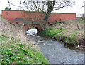
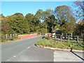
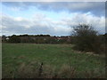
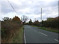
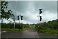
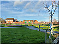
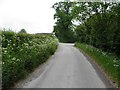
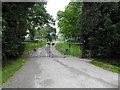
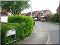
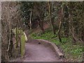
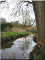
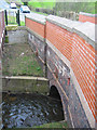
14 photos from this area
Area Information
Key information about the CW2 8EZ including its size, population, and administrative classification.
- Area Type
- Postcode
- Area Size
- 11.1 hectares
- Population
- 1623
- Population Density
- 851 people/km²
House Prices in CW2 8EZ
15
Properties
£197,455
Average Sold Price
£98,000
Lowest Price
£475,000
Highest Price
Showing 15 properties
| Address | Type | Beds | Baths | Last Sale Price | Last Sale Date | |
|---|---|---|---|---|---|---|
| 59 Church Lane, Wistaston, CW2 8EZ | Bungalow | 2 | 1 | £275,000 | Sep 2023 | |
| 69 Church Lane, Wistaston, CW2 8EZ | Bungalow | 2 | 1 | £215,000 | Jul 2023 | |
| 68 Church Lane, Wistaston, CW2 8EZ | Detached | 3 | - | £475,000 | Nov 2021 | |
| 71 Church Lane, Wistaston, CW2 8EZ | Bungalow | 3 | - | £192,500 | Jun 2013 | |
| 70 Church Lane, Wistaston, CW2 8EZ | Semi-detached | - | - | £120,000 | Apr 2011 | |
| 72 Church Lane, Wistaston, CW2 8EZ | Semi-detached | - | - | £176,000 | May 2008 | |
| 61 Church Lane, Wistaston, CW2 8EZ | Semi-detached | - | - | £183,500 | Jun 2005 | |
| 63 Church Lane, Wistaston, CW2 8EZ | Semi-detached | - | - | £150,000 | Aug 2003 | |
| 64 Church Lane, Wistaston, CW2 8EZ | house | - | - | £148,000 | Sep 1999 | |
| 66 Church Lane, Wistaston, CW2 8EZ | Detached | - | - | £139,000 | Jul 1998 |
Page 1 of 2
Energy Efficiency in CW2 8EZ
Amenities
Schools
| Rank | School | Type | Entry gender | Ages |
|---|
Explore more schools in this area
Go to Schools tabDemographics
Household Size
Two person
most common
Accommodation Type
Houses
most common
Tenure
83
majority
Ethnic Group
White
most common
Religion
N/A
most common
Household Composition
N/A
most common
Age
47
median
Adults (30-64 years)
most common
Household Deprivation
N/A
with no deprivation
NS-SEC
45
in Lower managerial occupations
Explore more demographic insights in this area
Go to Demographics tabPlanning
Planning Constraints
- Flood RiskPremium
- Ramsar Wetland SitesPremium
- Area of Outstanding Natural BeautyPremium
- Protected Nature ReservePremium
- Protected WoodlandPremium