Area Overview for CW2 8AJ
Photos of CW2 8AJ
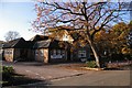
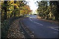
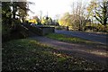
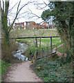

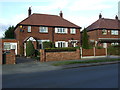
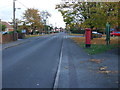
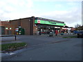
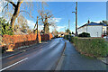
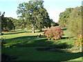
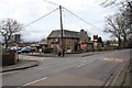
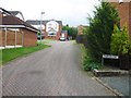
27 photos from this area
Area Information
Key information about the CW2 8AJ including its size, population, and administrative classification.
- Area Type
- Postcode
- Area Size
- 2.0 hectares
- Population
- 1544
- Population Density
- 3848 people/km²
House Prices in CW2 8AJ
12
Properties
£223,111
Average Sold Price
£120,000
Lowest Price
£415,000
Highest Price
Showing 12 properties
| Address | Type | Beds | Baths | Last Sale Price | Last Sale Date | |
|---|---|---|---|---|---|---|
| St Ives, Woodside Lane, Wistaston, CW2 8AJ | Bungalow | 3 | 2 | £415,000 | Feb 2025 | |
| Silver Trees, Woodside Lane, Wistaston, CW2 8AJ | Bungalow | 2 | 1 | £270,000 | Jan 2025 | |
| Portelet, Woodside Lane, Wistaston, CW2 8AJ | Bungalow | 2 | 1 | £330,000 | Jan 2025 | |
| Glenrosa, Woodside Lane, Wistaston, CW2 8AJ | Bungalow | 2 | 1 | £151,000 | Apr 2020 | |
| Lakemere, Woodside Lane, Wistaston, CW2 8AJ | Detached | - | - | £125,000 | Jan 2014 | |
| Sunny Brae, Woodside Lane, Wistaston, CW2 8AJ | Bungalow | - | - | £185,000 | Dec 2013 | |
| Woodside Grange, Woodside Lane, Wistaston, CW2 8AJ | house | 5 | 3 | £182,000 | Sep 2007 | |
| Wood Dene, Woodside Lane, Wistaston, CW2 8AJ | Semi-detached | - | - | £120,000 | May 2004 | |
| Wychwood, Woodside Lane, Wistaston, CW2 8AJ | Bungalow | - | - | £230,000 | Jun 2001 | |
| Hillcrest, Woodside Lane, Wistaston, CW2 8AJ | Bungalow | 3 | 1 | - | - |
Page 1 of 2
Energy Efficiency in CW2 8AJ
Amenities
Schools
| Rank | School | Type | Entry gender | Ages |
|---|
Explore more schools in this area
Go to Schools tabDemographics
Household Size
Two person
most common
Accommodation Type
Houses
most common
Tenure
90
majority
Ethnic Group
White
most common
Religion
N/A
most common
Household Composition
N/A
most common
Age
47
median
Adults (30-64 years)
most common
Household Deprivation
N/A
with no deprivation
NS-SEC
32
in Lower managerial occupations
Explore more demographic insights in this area
Go to Demographics tabPlanning
Planning Constraints
- Flood RiskPremium
- Ramsar Wetland SitesPremium
- Area of Outstanding Natural BeautyPremium
- Protected Nature ReservePremium
- Protected WoodlandPremium