Area Overview for CW12 2FZ
Photos of CW12 2FZ
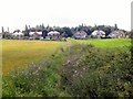
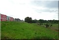
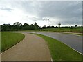
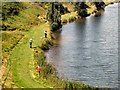
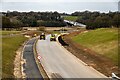
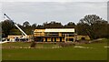
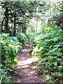
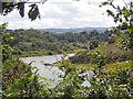
10 photos from this area
Area Information
Key information about the CW12 2FZ including its size, population, and administrative classification.
- Area Type
- Postcode
- Area Size
- 6417 m²
- Population
- 2213
- Population Density
- 142 people/km²
House Prices in CW12 2FZ
24
Properties
£203,751
Average Sold Price
£36,962
Lowest Price
£399,623
Highest Price
Showing 24 properties
| Address | Type | Beds | Baths | Last Sale Price | Last Sale Date | |
|---|---|---|---|---|---|---|
| 78 Lomas Way, Congleton, CW12 2FZ | Terraced | 2 | 2 | £67,500 | Oct 2025 | |
| 70 Lomas Way, Congleton, CW12 2FZ | Detached | 4 | 2 | £365,000 | Jan 2025 | |
| 54 Lomas Way, Congleton, CW12 2FZ | Semi-detached | 2 | 1 | £125,000 | Jan 2025 | |
| 60 Lomas Way, Congleton, CW12 2FZ | house | - | - | £138,000 | Aug 2023 | |
| 74 Lomas Way, Congleton, CW12 2FZ | Detached | 3 | 2 | £318,000 | Jun 2023 | |
| 58 Lomas Way, Congleton, CW12 2FZ | house | - | - | £131,250 | Oct 2019 | |
| 80 Lomas Way, Congleton, CW12 2FZ | house | - | - | £36,962 | Jul 2019 | |
| 76 Lomas Way, Congleton, CW12 2FZ | house | - | - | £36,962 | Jul 2019 | |
| 68 Lomas Way, Congleton, CW12 2FZ | house | - | - | £252,995 | Apr 2019 | |
| 72 Lomas Way, Congleton, CW12 2FZ | Detached | 4 | 2 | £284,995 | Mar 2019 |
Page 1 of 3
Energy Efficiency in CW12 2FZ
Amenities
Schools
| Rank | School | Type | Entry gender | Ages |
|---|
Explore more schools in this area
Go to Schools tabDemographics
Household Size
Family (3-5 people)
most common
Accommodation Type
Houses
most common
Tenure
79
majority
Ethnic Group
White
most common
Religion
N/A
most common
Household Composition
N/A
most common
Age
47
median
Adults (30-64 years)
most common
Household Deprivation
N/A
with no deprivation
NS-SEC
47
in Lower managerial occupations
Explore more demographic insights in this area
Go to Demographics tabPlanning
Planning Constraints
- Flood RiskPremium
- Ramsar Wetland SitesPremium
- Area of Outstanding Natural BeautyPremium
- Protected Nature ReservePremium
- Protected WoodlandPremium