Area Overview for CW11 4SH
Photos of CW11 4SH
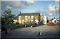

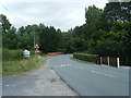
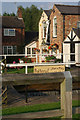
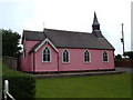
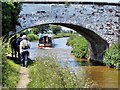
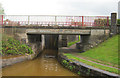
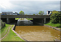
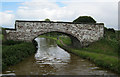
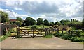
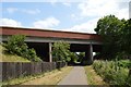
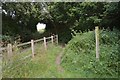
93 photos from this area
Area Information
Key information about the CW11 4SH including its size, population, and administrative classification.
- Area Type
- Postcode
- Area Size
- 5035 m²
- Population
- 1494
- Population Density
- 92 people/km²
House Prices in CW11 4SH
14
Properties
£155,818
Average Sold Price
£112,000
Lowest Price
£293,000
Highest Price
Showing 14 properties
| Address | Type | Beds | Baths | Last Sale Price | Last Sale Date | |
|---|---|---|---|---|---|---|
| 10 The Paddock, Hassall Green, CW11 4SH | house | 3 | 2 | £202,500 | Jun 2022 | |
| 14 The Paddock, Hassall Green, CW11 4SH | Detached | 3 | 1 | £165,000 | Nov 2016 | |
| 12 The Paddock, Hassall Green, CW11 4SH | house | - | - | £146,000 | Mar 2010 | |
| 3 The Paddock, Hassall Green, CW11 4SH | Detached | - | - | £168,000 | Dec 2007 | |
| 15 The Paddock, Hassall Green, CW11 4SH | Detached | 4 | 3 | £293,000 | May 2007 | |
| 1 The Paddock, Hassall Green, CW11 4SH | Detached | 3 | 1 | £160,000 | Apr 2006 | |
| 9 The Paddock, Hassall Green, CW11 4SH | Semi-detached | 2 | 1 | £120,000 | Apr 2006 | |
| 7 The Paddock, Hassall Green, CW11 4SH | Semi-detached | 2 | 1 | £119,000 | May 2004 | |
| 11 The Paddock, Hassall Green, CW11 4SH | Detached | 3 | 1 | £112,000 | Oct 2003 | |
| 5 The Paddock, Hassall Green, CW11 4SH | Detached | - | - | £116,500 | Sep 2002 |
Page 1 of 2
Energy Efficiency in CW11 4SH
Amenities
Schools
| Rank | School | Type | Entry gender | Ages |
|---|
Explore more schools in this area
Go to Schools tabDemographics
Household Size
Two person
most common
Accommodation Type
Houses
most common
Tenure
80
majority
Ethnic Group
White
most common
Religion
N/A
most common
Household Composition
N/A
most common
Age
47
median
Adults (30-64 years)
most common
Household Deprivation
N/A
with no deprivation
NS-SEC
38
in Lower managerial occupations
Explore more demographic insights in this area
Go to Demographics tabPlanning
Planning Constraints
- Flood RiskPremium
- Ramsar Wetland SitesPremium
- Area of Outstanding Natural BeautyPremium
- Protected Nature ReservePremium
- Protected WoodlandPremium