Area Overview for CW11 4DD
Photos of CW11 4DD
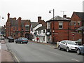
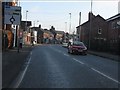
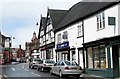

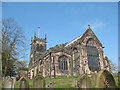

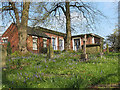
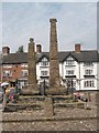
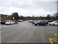


100 photos from this area
Area Information
Key information about the CW11 4DD including its size, population, and administrative classification.
- Area Type
- Postcode
- Area Size
- 3687 m²
- Population
- 1455
- Population Density
- 2611 people/km²
House Prices in CW11 4DD
12
Properties
£280,188
Average Sold Price
£129,450
Lowest Price
£609,802
Highest Price
Showing 12 properties
| Address | Type | Beds | Baths | Last Sale Price | Last Sale Date | |
|---|---|---|---|---|---|---|
| 7 Ware Close, Sandbach, CW11 4DD | Detached | 3 | 3 | £315,000 | Aug 2023 | |
| 15 Ware Close, Sandbach, CW11 4DD | house | - | - | £129,450 | Aug 2021 | |
| 11 Ware Close, Sandbach, CW11 4DD | house | - | - | £609,802 | Mar 2021 | |
| 2 Ware Close, Sandbach, CW11 4DD | Detached | 3 | 2 | £250,000 | Oct 2020 | |
| 13 Ware Close, Sandbach, CW11 4DD | house | - | - | £170,000 | Sep 2020 | |
| 5 Ware Close, Sandbach, CW11 4DD | house | - | - | £275,000 | Jun 2019 | |
| 9 Ware Close, Sandbach, CW11 4DD | house | - | - | £225,750 | May 2019 | |
| 4 Ware Close, Sandbach, CW11 4DD | house | - | - | £352,750 | May 2018 | |
| 1 Ware Close, Sandbach, CW11 4DD | house | - | - | £244,750 | Sep 2017 | |
| 3 Ware Close, Sandbach, CW11 4DD | house | - | - | £275,250 | Sep 2017 |
Page 1 of 2
Energy Efficiency in CW11 4DD
Amenities
Schools
| Rank | School | Type | Entry gender | Ages |
|---|
Explore more schools in this area
Go to Schools tabDemographics
Household Size
One person
most common
Accommodation Type
Houses
most common
Tenure
51
majority
Ethnic Group
White
most common
Religion
N/A
most common
Household Composition
N/A
most common
Age
47
median
Adults (30-64 years)
most common
Household Deprivation
N/A
with no deprivation
NS-SEC
29
in Lower managerial occupations
Explore more demographic insights in this area
Go to Demographics tabPlanning
Planning Constraints
- Flood RiskPremium
- Ramsar Wetland SitesPremium
- Area of Outstanding Natural BeautyPremium
- Protected Nature ReservePremium
- Protected WoodlandPremium