Area Overview for CW11 1GJ
Photos of CW11 1GJ
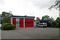
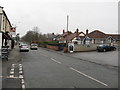
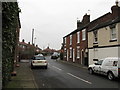
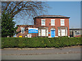
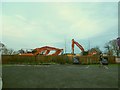
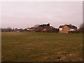
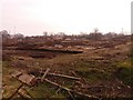
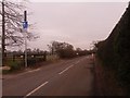
100 photos from this area
Area Information
Key information about the CW11 1GJ including its size, population, and administrative classification.
- Area Type
- Postcode
- Area Size
- 8766 m²
- Population
- 1561
- Population Density
- 3917 people/km²
House Prices in CW11 1GJ
42
Properties
£128,413
Average Sold Price
£31,000
Lowest Price
£275,000
Highest Price
Showing 42 properties
| Address | Type | Beds | Baths | Last Sale Price | Last Sale Date | |
|---|---|---|---|---|---|---|
| 27 Bradwall Street, Sandbach, CW11 1GJ | house | 2 | 1 | £188,000 | Jul 2025 | |
| 17 Bradwall Street, Sandbach, CW11 1GJ | Terraced | 2 | 1 | £163,000 | Mar 2025 | |
| 8 Bradwall Street, Sandbach, CW11 1GJ | Semi-detached | 3 | 1 | £265,000 | Mar 2025 | |
| 14 Bradwall Street, Sandbach, CW11 1GJ | Terraced | 2 | 1 | £210,000 | Feb 2025 | |
| 44 Bradwall Street, Sandbach, CW11 1GJ | Bungalow | 3 | 2 | £170,000 | Dec 2024 | |
| 41 Bradwall Street, Sandbach, CW11 1GJ | Semi-detached | 2 | 1 | £230,000 | Nov 2024 | |
| 29 Bradwall Street, Sandbach, CW11 1GJ | house | - | - | £200,000 | Aug 2023 | |
| 36 Bradwall Street, Sandbach, CW11 1GJ | house | - | - | £145,000 | Jul 2022 | |
| 5 Bradwall Street, Sandbach, CW11 1GJ | Terraced | 2 | 1 | £140,000 | Aug 2021 | |
| 35 Bradwall Street, Sandbach, CW11 1GJ | Terraced | 2 | 1 | £130,000 | Aug 2020 |
Page 1 of 5
Energy Efficiency in CW11 1GJ
Amenities
Schools
| Rank | School | Type | Entry gender | Ages |
|---|
Explore more schools in this area
Go to Schools tabDemographics
Household Size
One person
most common
Accommodation Type
Houses
most common
Tenure
56
majority
Ethnic Group
White
most common
Religion
N/A
most common
Household Composition
N/A
most common
Age
47
median
Adults (30-64 years)
most common
Household Deprivation
N/A
with no deprivation
NS-SEC
34
in Lower managerial occupations
Explore more demographic insights in this area
Go to Demographics tabPlanning
Planning Constraints
- Flood RiskPremium
- Ramsar Wetland SitesPremium
- Area of Outstanding Natural BeautyPremium
- Protected Nature ReservePremium
- Protected WoodlandPremium