Area Overview for CW11 1BU
Photos of CW11 1BU
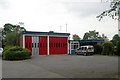
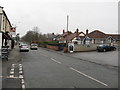
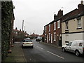
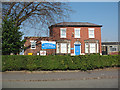

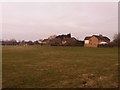
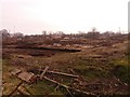
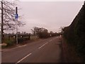
100 photos from this area
Area Information
Key information about the CW11 1BU including its size, population, and administrative classification.
- Area Type
- Postcode
- Area Size
- 8797 m²
- Population
- 1288
- Population Density
- 1113 people/km²
House Prices in CW11 1BU
19
Properties
£201,206
Average Sold Price
£86,000
Lowest Price
£340,000
Highest Price
Showing 19 properties
| Address | Type | Beds | Baths | Last Sale Price | Last Sale Date | |
|---|---|---|---|---|---|---|
| 18 Belmont Avenue, Sandbach, CW11 1BU | Semi-detached | 3 | 1 | £340,000 | Oct 2025 | |
| 14 Belmont Avenue, Sandbach, CW11 1BU | house | - | - | £286,000 | Oct 2023 | |
| 29 Belmont Avenue, Sandbach, CW11 1BU | Semi-detached | 3 | 1 | £205,000 | Jun 2023 | |
| 20 Belmont Avenue, Sandbach, CW11 1BU | house | - | - | £315,000 | Feb 2023 | |
| 24 Belmont Avenue, Sandbach, CW11 1BU | house | - | - | £250,000 | Mar 2021 | |
| 13 Belmont Avenue, Sandbach, CW11 1BU | Semi-detached | 3 | 1 | £210,000 | Aug 2019 | |
| 23 Belmont Avenue, Sandbach, CW11 1BU | Semi-detached | 3 | 1 | £243,000 | Aug 2018 | |
| 22 Belmont Avenue, Sandbach, CW11 1BU | Semi-detached | 3 | 1 | £220,000 | Aug 2017 | |
| 15 Belmont Avenue, Sandbach, CW11 1BU | Semi-detached | 3 | 1 | £173,500 | May 2017 | |
| 16 Belmont Avenue, Sandbach, CW11 1BU | house | - | - | £165,000 | Jan 2014 |
Page 1 of 2
Energy Efficiency in CW11 1BU
Amenities
Schools
| Rank | School | Type | Entry gender | Ages |
|---|
Explore more schools in this area
Go to Schools tabDemographics
Household Size
Two person
most common
Accommodation Type
Houses
most common
Tenure
94
majority
Ethnic Group
White
most common
Religion
N/A
most common
Household Composition
N/A
most common
Age
47
median
Adults (30-64 years)
most common
Household Deprivation
N/A
with no deprivation
NS-SEC
37
in Lower managerial occupations
Explore more demographic insights in this area
Go to Demographics tabPlanning
Planning Constraints
- Flood RiskPremium
- Ramsar Wetland SitesPremium
- Area of Outstanding Natural BeautyPremium
- Protected Nature ReservePremium
- Protected WoodlandPremium