Area Overview for CW1 6YW
Photos of CW1 6YW
Area Information
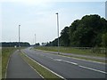
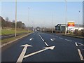
CW1 6YW is a small, densely populated residential cluster in Cheshire East, England, with a population of 1,426 people spread over a compact area. Its proximity to Crewe town centre, just 1½ miles west, offers easy access to urban amenities while retaining a village character. The area includes a mix of homes, farms at Slaughter Hill, and industrial estates like Crewe Hall Enterprise Park. Historically, it was part of the former civil parish of Crewe Green, now merged into Weston and Crewe Green. Daily life here is shaped by its rural-urban balance: residents can walk to nearby railway stations, shop at local supermarkets like Tesco Crewe, and enjoy the historic Crewe Hall, a grade-I-listed mansion. The area’s compact size means most needs are within walking or cycling distance, though its small footprint limits expansion. With a median age of 47 and a strong homeownership rate, CW1 6YW is a stable, family-oriented community. Its blend of residential and light industrial use makes it distinct, appealing to those seeking proximity to both town and countryside.
- Area Type
- Postcode
- Area Size
- Not available
- Population
- 1426
- Population Density
- 944 people/km²
CW1 6YW is predominantly an owner-occupied area, with 87% of homes owned by residents rather than rented. The accommodation type is primarily houses, reflecting a suburban, low-density housing stock. This contrasts with areas dominated by flats or rental properties, making CW1 6YW more attractive to families seeking space and permanence. The small size of the postcode means the housing market is limited, with few new builds or developments. Buyers should consider nearby areas for broader options, though the existing stock is likely to be well-maintained, given the high homeownership rate. The mix of homes and industrial estates like Crewe Hall Enterprise Park suggests a balance between residential and commercial land use, which may influence property values. For buyers, this area is ideal for those prioritising stability and a family-friendly environment, though competition for existing homes may be fierce due to its compact size.
House Prices in CW1 6YW
No properties found in this postcode.
Energy Efficiency in CW1 6YW
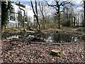
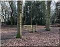
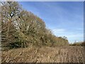
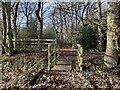
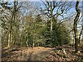
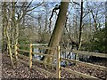
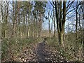
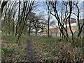
Residents of CW1 6YW have access to essential amenities within practical reach. Retail options include Co-op Gateway, Aldi University, and Tesco Crewe, offering everyday shopping needs. The area’s rail network connects to Crewe, Nantwich, and Sandbach stations, enabling easy travel to nearby towns. Nearby, the historic Crewe Hall and its 201-hectare parkland provide green space for recreation, with features like Rookery Wood and Temple of Peace Wood. The village of Crewe Green, now part of Weston and Crewe Green, retains a small-town charm, with St Michael and All Angels Church adding to its character. The blend of retail, transport, and natural spaces supports a balanced lifestyle, combining convenience with access to nature. While the area’s size limits large-scale leisure facilities, its proximity to Crewe ensures additional options for dining, entertainment, and cultural activities.
Amenities
Schools
Nearby schools include Springfield School and Safe Opportunities, both designated as special schools. These institutions cater to students with specific educational needs, offering tailored support and resources. The presence of two special schools indicates a focus on inclusivity and accessibility for families requiring specialist provisions. However, no data on Ofsted ratings or academic performance is available, so prospective parents should conduct further research into individual school offerings. The mix of school types in the area may be limiting for families seeking mainstream education, though the proximity of these schools ensures ease of access for residents. For those prioritising specialist education, CW1 6YW’s schools provide a reliable option, but parents should verify whether the curriculum and facilities align with their child’s requirements.
| Rank | School | Type | Entry gender | Ages |
|---|
Explore more schools in this area
Go to Schools tabDemographics
The population of CW1 6YW is 1,426, with a density of 944 people per square kilometre, reflecting a tightly knit community. The median age is 47, with the majority of residents aged 30–64, indicating a mature, established population. Homeownership is high at 87%, suggesting long-term residency and investment in the area. The predominant accommodation type is houses, aligning with the area’s suburban character. The predominant ethnic group is White, with no specific data on other demographics provided. This age profile and ownership rate imply a community focused on stability and family life, with fewer young families or transient populations. The absence of detailed diversity metrics means the area’s social fabric is largely homogenous, though this may change as nearby developments evolve. The high homeownership rate also suggests lower rental demand, making it less typical of a transient or student-heavy area.
Household Size
Accommodation Type
Tenure
Ethnic Group
Religion
Household Composition
Age
Household Deprivation
NS-SEC
Explore more demographic insights in this area
Go to Demographics tabPlanning
Planning Constraints
- Flood RiskPremium
- Ramsar Wetland SitesPremium
- Area of Outstanding Natural BeautyPremium
- Protected Nature ReservePremium
- Protected WoodlandPremium