Area Overview for CW1 3QT
Photos of CW1 3QT
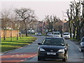
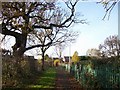
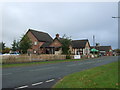
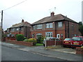
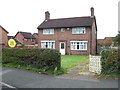
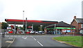
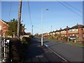
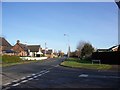
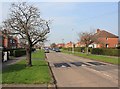
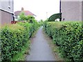
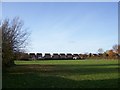
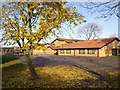
18 photos from this area
Area Information
Key information about the CW1 3QT including its size, population, and administrative classification.
- Area Type
- Postcode
- Area Size
- 9400 m²
- Population
- 1434
- Population Density
- 5988 people/km²
House Prices in CW1 3QT
23
Properties
£118,278
Average Sold Price
£38,000
Lowest Price
£212,000
Highest Price
Showing 23 properties
| Address | Type | Beds | Baths | Last Sale Price | Last Sale Date | |
|---|---|---|---|---|---|---|
| 5 Windsor Avenue, Crewe, CW1 3QT | Semi-detached | 2 | 1 | £148,500 | Jun 2024 | |
| 29 Windsor Avenue, Crewe, CW1 3QT | Bungalow | 2 | 1 | £170,000 | Aug 2023 | |
| 13 Windsor Avenue, Crewe, CW1 3QT | Retail | 2 | 1 | £170,000 | Dec 2022 | |
| 3 Windsor Avenue, Crewe, CW1 3QT | Bungalow | - | - | £135,000 | Jun 2021 | |
| 23 Windsor Avenue, Crewe, CW1 3QT | Bungalow | 2 | 1 | £95,000 | Sep 2018 | |
| 15 Windsor Avenue, Crewe, CW1 3QT | house | - | - | £126,000 | Nov 2016 | |
| 1 Windsor Avenue, Crewe, CW1 3QT | Bungalow | - | - | £119,950 | Jul 2016 | |
| 45 Windsor Avenue, Crewe, CW1 3QT | Bungalow | 3 | 2 | £212,000 | Jun 2016 | |
| 7 Windsor Avenue, Crewe, CW1 3QT | Semi-detached | 2 | - | £128,000 | Nov 2015 | |
| 27 Windsor Avenue, Crewe, CW1 3QT | Semi-detached | 2 | 1 | £114,000 | Jul 2012 |
Page 1 of 3
Energy Efficiency in CW1 3QT
Amenities
Schools
| Rank | School | Type | Entry gender | Ages |
|---|
Explore more schools in this area
Go to Schools tabDemographics
Household Size
Family (3-5 people)
most common
Accommodation Type
Houses
most common
Tenure
47
majority
Ethnic Group
White
most common
Religion
N/A
most common
Household Composition
N/A
most common
Age
47
median
Adults (30-64 years)
most common
Household Deprivation
N/A
with no deprivation
NS-SEC
15
in Lower managerial occupations
Explore more demographic insights in this area
Go to Demographics tabPlanning
Planning Constraints
- Flood RiskPremium
- Ramsar Wetland SitesPremium
- Area of Outstanding Natural BeautyPremium
- Protected Nature ReservePremium
- Protected WoodlandPremium