Area Overview for CW1 3NS
Photos of CW1 3NS

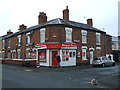
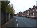
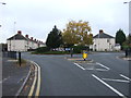
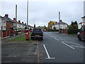
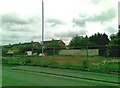
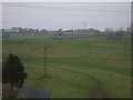
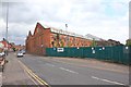
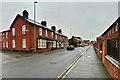
17 photos from this area
Area Information
Key information about the CW1 3NS including its size, population, and administrative classification.
- Area Type
- Postcode
- Area Size
- 1.3 hectares
- Population
- 1563
- Population Density
- 7307 people/km²
House Prices in CW1 3NS
44
Properties
£99,527
Average Sold Price
£61,950
Lowest Price
£157,500
Highest Price
Showing 44 properties
| Address | Type | Beds | Baths | Last Sale Price | Last Sale Date | |
|---|---|---|---|---|---|---|
| 14 Barnabas Avenue, Crewe, CW1 3NS | Semi-detached | 3 | 1 | £150,000 | Jan 2024 | |
| 19 Barnabas Avenue, Crewe, CW1 3NS | Semi-detached | 4 | 2 | £157,500 | Jun 2023 | |
| 7A Barnabas Avenue, Crewe, CW1 3NS | Flat | 1 | - | £69,950 | Oct 2022 | |
| 3 Barnabas Avenue, Crewe, CW1 3NS | house | - | - | £120,995 | Nov 2021 | |
| 28 Barnabas Avenue, Crewe, CW1 3NS | house | - | - | £93,500 | Feb 2020 | |
| 25 Barnabas Avenue, Crewe, CW1 3NS | Detached | 4 | 2 | £75,000 | Apr 2017 | |
| 38 Barnabas Avenue, Crewe, CW1 3NS | Semi-detached | 3 | 1 | £72,000 | Nov 2015 | |
| 24 Barnabas Avenue, Crewe, CW1 3NS | Semi-detached | 3 | - | £90,000 | Apr 2014 | |
| 15 Barnabas Avenue, Crewe, CW1 3NS | house | 3 | - | £95,500 | Nov 2012 | |
| 10 Barnabas Avenue, Crewe, CW1 3NS | house | - | - | £97,500 | Aug 2012 |
Page 1 of 5
Energy Efficiency in CW1 3NS
Amenities
Schools
| Rank | School | Type | Entry gender | Ages |
|---|
Explore more schools in this area
Go to Schools tabDemographics
Household Size
Family (3-5 people)
most common
Accommodation Type
Houses
most common
Tenure
42
majority
Ethnic Group
White
most common
Religion
N/A
most common
Household Composition
N/A
most common
Age
47
median
Adults (30-64 years)
most common
Household Deprivation
N/A
with no deprivation
NS-SEC
17
in Lower managerial occupations
Explore more demographic insights in this area
Go to Demographics tabPlanning
Planning Constraints
- Flood RiskPremium
- Ramsar Wetland SitesPremium
- Area of Outstanding Natural BeautyPremium
- Protected Nature ReservePremium
- Protected WoodlandPremium