Area Overview for CW1 2PL
Photos of CW1 2PL

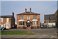
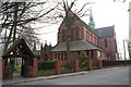
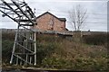
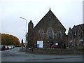
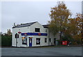
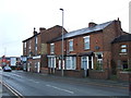


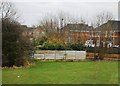

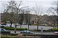
19 photos from this area
Area Information
Key information about the CW1 2PL including its size, population, and administrative classification.
- Area Type
- Postcode
- Area Size
- 2060 m²
- Population
- 1926
- Population Density
- 5029 people/km²
House Prices in CW1 2PL
15
Properties
£57,000
Average Sold Price
£18,000
Lowest Price
£113,500
Highest Price
Showing 15 properties
| Address | Type | Beds | Baths | Last Sale Price | Last Sale Date | |
|---|---|---|---|---|---|---|
| 86 Meredith Street, Crewe, CW1 2PL | Terraced | 3 | 1 | £113,500 | Jul 2024 | |
| 98 Meredith Street, Crewe, CW1 2PL | house | - | - | £63,000 | Nov 2019 | |
| 92 Meredith Street, Crewe, CW1 2PL | Terraced | 2 | 1 | £56,000 | Nov 2016 | |
| 97 Meredith Street, Crewe, CW1 2PL | house | 3 | 2 | £105,000 | Apr 2015 | |
| 88 Meredith Street, Crewe, CW1 2PL | Terraced | 3 | 1 | £35,000 | Dec 2013 | |
| 101 Meredith Street, Crewe, CW1 2PL | Terraced | 2 | 1 | £67,500 | May 2011 | |
| 103 Meredith Street, Crewe, CW1 2PL | house | 3 | 1 | £57,000 | Jul 2003 | |
| 94 Meredith Street, Crewe, CW1 2PL | Terraced | 2 | - | £23,500 | Oct 2001 | |
| 99 Meredith Street, Crewe, CW1 2PL | Terraced | - | - | £31,500 | Jun 2000 | |
| 100 Meredith Street, Crewe, CW1 2PL | Terraced | - | - | £18,000 | Mar 1997 |
Page 1 of 2
Energy Efficiency in CW1 2PL
Amenities
Schools
| Rank | School | Type | Entry gender | Ages |
|---|
Explore more schools in this area
Go to Schools tabDemographics
Household Size
One person
most common
Accommodation Type
Houses
most common
Tenure
21
majority
Ethnic Group
White
most common
Religion
N/A
most common
Household Composition
N/A
most common
Age
47
median
Adults (30-64 years)
most common
Household Deprivation
N/A
with no deprivation
NS-SEC
14
in Lower managerial occupations
Explore more demographic insights in this area
Go to Demographics tabPlanning
Planning Constraints
- Flood RiskPremium
- Ramsar Wetland SitesPremium
- Area of Outstanding Natural BeautyPremium
- Protected Nature ReservePremium
- Protected WoodlandPremium