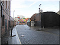
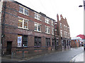
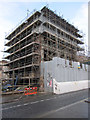
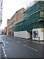
Area Overview for City Centre South Ward
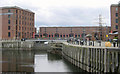
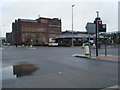
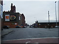
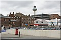
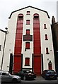
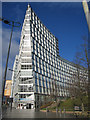
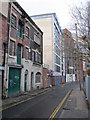
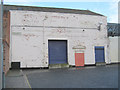
Photos of City Centre South Ward
Area Information
Living in City Centre South Ward means settling into a compact urban environment defined by intense population density. This district occupies just 95.6 hectares in England, creating a space where residents experience close proximity to their neighbours. With over 3,200 people packed into this area, you will find a bustling atmosphere typical of a central ward. The population density reaches 3,407 people per square kilometre, which guarantees a lively streetscape but also significant noise levels during peak hours. This ward represents a specific slice of urban England rather than a sprawling suburb. You are choosing a location where daily life revolves around immediate access to city amenities rather than open countryside. The character of City Centre South Ward is shaped entirely by its high occupancy rates and small physical footprint. Prospective homebuyers must consider whether this intensity suits their lifestyle preferences. The area lacks the space found in larger borough units, meaning privacy often comes at the cost of convenience. Your routine here will be fast-paced, reflecting the nature of a densely populated borough unitary ward. Expect to navigate narrow streets and shared spaces frequently. This compactness defines everything from travel times to community interaction.
- Area Type
- District Borough Unitary Ward
- Area Size
- 95.6 hectares
- Population
- 3257
- Population Density
- 3407 people/km²
Demographics
The community in City Centre South Ward is dominated by an older generation, with a median age of 70 years. This figure indicates that the majority of households consist of older individuals or couples in their later years. When evaluating homes in City Centre South Ward, you are looking at an area where traditional retirement living is common. The data shows that 100 per cent of the population falls within the total age range, confirming the absence of younger demographic groups like families with school-age children. Home ownership stands at only 13 per cent, meaning the vast majority of residents rent their properties instead of buying. This low ownership rate suggests a challenging environment for first-time buyers seeking to purchase a property immediately. You must assume that most accommodation is rented unless specified otherwise by a specific listing. The household composition aligns with the high median age, pointing towards single-person households or empty nesters. Diversity metrics are not explicitly detailed in the available figures for this specific ward, but the age profile clearly dictates the social fabric. Living here means engaging with a quieter, perhaps more sedentary community compared to areas with younger demographics. The lack of young families influences local shop hours and community activities. School options nearby will be limited compared to wards with balanced age distributions.
Household Size
Accommodation Type
Tenure
Ethnic Group
Religion
Household Composition
Age
Household Deprivation
NS-SEC
Explore more demographic insights in this area
Go to Demographics tabPlanning
Planning Constraints
- Flood RiskPremium
- Ramsar Wetland SitesPremium
- Area of Outstanding Natural BeautyPremium
- Protected Nature ReservePremium
- Protected WoodlandPremium
- Crime RiskPremium