Area Overview for Chorley South East & Heath Charnock Ward
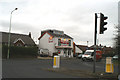
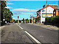
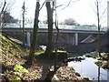
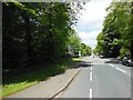
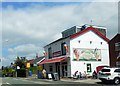
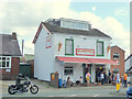
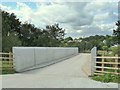
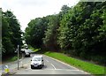
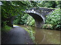
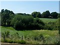
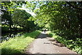
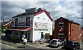
Photos of Chorley South East & Heath Charnock Ward
Area Information
Living in Chorley South East & Heath Charnock Ward offers a distinct residential experience defined by its modest footprint and established character. This district forms part of the Chorley borough unitary authority and covers an area of 10.9 km², creating a compact yet measurable community for residents. The ward is situated within Lancashire, providing a clear geographical identity for those navigating the local landscape. Daily life here is shaped by the density of the population relative to its size, fostering a neighbourhood where proximity often influences local interactions. Prospective buyers looking at homes in this specific ward should note the physical boundaries that define the space, ensuring they understand the scale compared to larger districts. The area represents a specific slice of Lancashire life, blending suburban settlement patterns with local amenities. When considering living in Chorley South East & Heath Charnock Ward, you are entering a defined zone with a consistent administrative structure. The compact nature of the 10.9 km² territory means services and neighbours are relatively close, which can simplify commutes and access to local facilities. This specific ward stands out from broader regional areas due to its precise classification and unitary status within the county framework.
- Area Type
- District Borough Unitary Ward
- Area Size
- 10.9 km²
- Population
- Not available
- Population Density
- Not available
Demographics
The community within Chorley South East & Heath Charnock Ward presents a clear demographic profile distinct from many urban counterparts. The median age in this area reaches 70, indicating a population heavily skewed towards older residents. This statistical reality shapes the daily rhythm of the neighbourhood, with services and social activities likely catering to a senior demographic. When you look at the most common age range, the data simply categorises the total age distribution without breaking it down further, yet the high median age remains the defining feature. Home ownership stands as a dominant feature of this community, with 74% of residents owning their properties outright or with a mortgage. This high rate of ownership suggests a settled population that has remained in the area for extended periods. The household composition data covers the total population, reflecting the mix of single-person homes, couples, and families that make up the ward. There is no specific data available regarding predominant ethnic groups or religious affiliations in the provided statistics, so the area is best understood through its age and ownership metrics. Understanding who lives here helps you gauge whether the environment suits your lifestyle, particularly if you prefer a quieter, older-gentrified setting over a young-family hub. The 74% ownership rate is a concrete fact that underscores the stability within this specific ward.
Household Size
Accommodation Type
Tenure
Ethnic Group
Religion
Household Composition
Age
Household Deprivation
NS-SEC
Explore more demographic insights in this area
Go to Demographics tabPlanning
Planning Constraints
- Flood RiskPremium
- Ramsar Wetland SitesPremium
- Area of Outstanding Natural BeautyPremium
- Protected Nature ReservePremium
- Protected WoodlandPremium
- Crime RiskPremium