Area Overview for Chorley
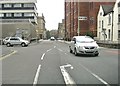
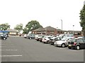
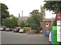
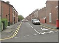
Photos of Chorley


Area Information
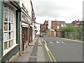
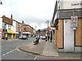
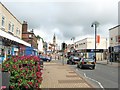
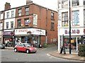
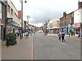
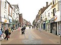
Chorley, a built-up area in England covering 9.9 km², is home to 11,750 residents, with a population density of 1,191 people per square kilometre. This compact town offers a mix of urban convenience and community-focused living. The area is defined by its moderate size and well-established infrastructure, with amenities and services clustered within practical reach. Chorley’s demographic profile is notable for its median age of 70, suggesting a community with a significant proportion of older residents. Despite this, the town remains accessible, with rail links to nearby stations such as Chorley and Buckshaw Parkway, and a range of retail outlets including Booths and Iceland. Daily life here balances routine with the proximity of schools, from nurseries like Duke Street Nursery School to primary institutions such as Buckshaw Primary School. While the population density is high, the area’s compact nature ensures that essential services are within walking or short driving distance, making it a practical choice for those seeking a settled, connected lifestyle.
- Area Type
- District/Borough
- Area Size
- 9.9 km²
- Population
- 11750
- Population Density
- 1191 people/km²
Demographics
Chorley’s population has a median age of 70, which is notably higher than the national average, indicating a community skewed towards older adults. The most common age range is listed as “Age: Total,” suggesting aggregated data rather than specific groupings. Home ownership in the area stands at 68%, reflecting a majority of residents living in their own homes. The accommodation type and household composition are both marked as “total,” meaning no breakdown is available for specific categories such as family households or single-person dwellings. Similarly, the predominant ethnic group and religious affiliations are not detailed in the data. While this lack of specificity limits deeper analysis, the high home ownership rate suggests a stable, long-term resident base. The area’s demographic profile, while not extensively detailed, points to a mature population with established ties to the local community.
Household Size
Accommodation Type
Tenure
Ethnic Group
Religion
Household Composition
Age
Household Deprivation
NS-SEC
Explore more demographic insights in this area
Go to Demographics tabPlanning
Planning Constraints
- Crime RiskLocked