Area Overview for CH66 2PS
Photos of CH66 2PS
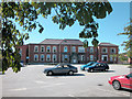
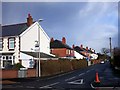
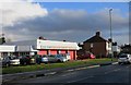

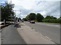
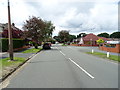
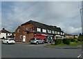
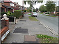
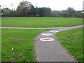
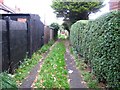
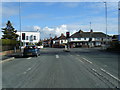
16 photos from this area
Area Information
Key information about the CH66 2PS including its size, population, and administrative classification.
- Area Type
- Postcode
- Area Size
- 6995 m²
- Population
- 1603
- Population Density
- 3992 people/km²
House Prices in CH66 2PS
18
Properties
£142,650
Average Sold Price
£86,500
Lowest Price
£195,000
Highest Price
Showing 18 properties
| Address | Type | Beds | Baths | Last Sale Price | Last Sale Date | |
|---|---|---|---|---|---|---|
| 10 Elm Grove, Whitby, Ellesmere Port, CH66 2PS | Semi-detached | 3 | 1 | £162,000 | Aug 2019 | |
| 30 Elm Grove, Whitby, Ellesmere Port, CH66 2PS | house | - | - | £195,000 | May 2018 | |
| 22 Elm Grove, Whitby, Ellesmere Port, CH66 2PS | house | - | - | £165,000 | Jul 2017 | |
| 24 Elm Grove, Whitby, Ellesmere Port, CH66 2PS | house | - | - | £125,000 | Dec 2011 | |
| 26 Elm Grove, Whitby, Ellesmere Port, CH66 2PS | house | - | - | £160,000 | Sep 2011 | |
| 6 Elm Grove, Whitby, Ellesmere Port, CH66 2PS | Semi-detached | - | - | £140,000 | Jul 2008 | |
| 16 Elm Grove, Whitby, Ellesmere Port, CH66 2PS | Semi-detached | - | - | £163,000 | Jan 2006 | |
| 36 Elm Grove, Whitby, Ellesmere Port, CH66 2PS | Semi-detached | - | - | £135,000 | Oct 2003 | |
| 28 Elm Grove, Whitby, Ellesmere Port, CH66 2PS | Semi-detached | 3 | - | £95,000 | Oct 2002 | |
| 12 Elm Grove, Whitby, Ellesmere Port, CH66 2PS | Semi-detached | - | - | £86,500 | May 2002 |
Page 1 of 2
Energy Efficiency in CH66 2PS
Amenities
Schools
| Rank | School | Type | Entry gender | Ages |
|---|
Explore more schools in this area
Go to Schools tabDemographics
Household Size
Two person
most common
Accommodation Type
Houses
most common
Tenure
90
majority
Ethnic Group
White
most common
Religion
N/A
most common
Household Composition
N/A
most common
Age
47
median
Adults (30-64 years)
most common
Household Deprivation
N/A
with no deprivation
NS-SEC
31
in Lower managerial occupations
Explore more demographic insights in this area
Go to Demographics tabPlanning
Planning Constraints
- Flood RiskPremium
- Ramsar Wetland SitesPremium
- Area of Outstanding Natural BeautyPremium
- Protected Nature ReservePremium
- Protected WoodlandPremium