Area Overview for CH64 9SF
Photos of CH64 9SF
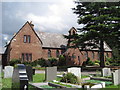
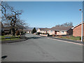
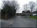
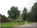
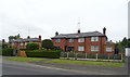
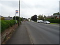
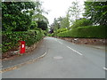
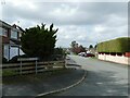
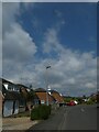
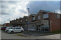
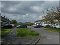
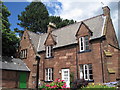
20 photos from this area
Area Information
Key information about the CH64 9SF including its size, population, and administrative classification.
- Area Type
- Postcode
- Area Size
- 2.0 hectares
- Population
- 1867
- Population Density
- 978 people/km²
House Prices in CH64 9SF
27
Properties
£240,103
Average Sold Price
£140,000
Lowest Price
£400,000
Highest Price
Showing 27 properties
| Address | Type | Beds | Baths | Last Sale Price | Last Sale Date | |
|---|---|---|---|---|---|---|
| 4 West Vale, Neston, CH64 9SF | Semi-detached | 3 | 1 | £330,000 | Oct 2025 | |
| 24 West Vale, Neston, CH64 9SF | house | 3 | 2 | £400,000 | Sep 2025 | |
| 44 West Vale, Neston, CH64 9SF | house | - | - | £285,000 | Oct 2022 | |
| 38 West Vale, Neston, CH64 9SF | Terraced | 2 | 1 | £192,000 | Jan 2022 | |
| 2 West Vale, Neston, CH64 9SF | Semi-detached | 3 | 2 | £200,000 | Oct 2020 | |
| 34 West Vale, Neston, CH64 9SF | Semi-detached | 2 | - | £160,000 | Sep 2020 | |
| Railway House, West Vale, Neston, CH64 9SF | house | 4 | 3 | £335,000 | Mar 2020 | |
| 36 West Vale, Neston, CH64 9SF | house | - | - | £140,000 | Feb 2020 | |
| 22 West Vale, Neston, CH64 9SF | Semi-detached | 3 | 1 | £275,000 | Oct 2019 | |
| 6 West Vale, Neston, CH64 9SF | Semi-detached | 4 | 2 | £321,750 | Jun 2019 |
Page 1 of 3
Energy Efficiency in CH64 9SF
Amenities
Schools
| Rank | School | Type | Entry gender | Ages |
|---|
Explore more schools in this area
Go to Schools tabDemographics
Household Size
Two person
most common
Accommodation Type
Houses
most common
Tenure
87
majority
Ethnic Group
White
most common
Religion
N/A
most common
Household Composition
N/A
most common
Age
47
median
Adults (30-64 years)
most common
Household Deprivation
N/A
with no deprivation
NS-SEC
39
in Lower managerial occupations
Explore more demographic insights in this area
Go to Demographics tabPlanning
Planning Constraints
- Flood RiskPremium
- Ramsar Wetland SitesPremium
- Area of Outstanding Natural BeautyPremium
- Protected Nature ReservePremium
- Protected WoodlandPremium