Area Overview for CH64 7TW
Photos of CH64 7TW
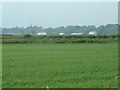
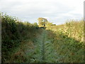
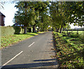
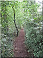
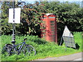
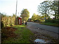
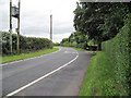
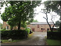
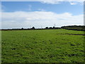
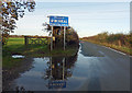
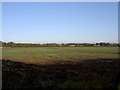
15 photos from this area
Area Information
Key information about the CH64 7TW including its size, population, and administrative classification.
- Area Type
- Postcode
- Area Size
- 44.8 hectares
- Population
- 1665
- Population Density
- 378 people/km²
House Prices in CH64 7TW
10
Properties
£522,000
Average Sold Price
£250,000
Lowest Price
£700,000
Highest Price
Showing 10 properties
| Address | Type | Beds | Baths | Last Sale Price | Last Sale Date | |
|---|---|---|---|---|---|---|
| Little Meadow, Liverpool Road, Neston, CH64 7TW | Bungalow | - | - | £700,000 | Mar 2022 | |
| Yew Tree Farm, Liverpool Road, Neston, CH64 7TW | Detached | 5 | 3 | £530,000 | Nov 2018 | |
| Casa Sarga, Liverpool Road, Neston, CH64 7TW | Detached | 5 | 3 | £650,000 | Aug 2016 | |
| Brook House, Liverpool Road, Neston, CH64 7TW | house | - | - | £480,000 | Oct 2010 | |
| Yew Tree Barn, Liverpool Road, Neston, CH64 7TW | Semi-detached | 4 | 3 | £250,000 | Dec 2001 | |
| Yew Tree House, Liverpool Road, Neston, CH64 7TW | Land | - | - | - | - | |
| Yew Tree Fishery, Liverpool Road, Neston, CH64 7TW | Farm | - | - | - | - | |
| Fiveways Poultry Farm, Liverpool Road, Neston, CH64 7TW | Farm | - | - | - | - | |
| Fox Hey, Liverpool Road, Neston, CH64 7TW | Detached | - | - | - | - | |
| Highfield Cottage, Liverpool Road, Neston, CH64 7TW | Semi-detached | - | - | - | - |
Energy Efficiency in CH64 7TW
Amenities
Schools
| Rank | School | Type | Entry gender | Ages |
|---|
Explore more schools in this area
Go to Schools tabDemographics
Household Size
Two person
most common
Accommodation Type
Houses
most common
Tenure
66
majority
Ethnic Group
White
most common
Religion
N/A
most common
Household Composition
N/A
most common
Age
47
median
Adults (30-64 years)
most common
Household Deprivation
N/A
with no deprivation
NS-SEC
31
in Lower managerial occupations
Explore more demographic insights in this area
Go to Demographics tabPlanning
Planning Constraints
- Flood RiskPremium
- Ramsar Wetland SitesPremium
- Area of Outstanding Natural BeautyPremium
- Protected Nature ReservePremium
- Protected WoodlandPremium