Area Overview for CH64 3SB
Photos of CH64 3SB
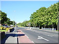
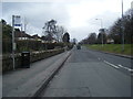

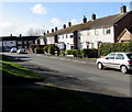
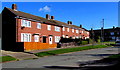
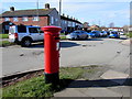
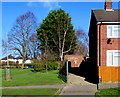
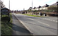
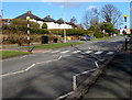
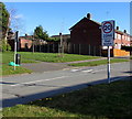
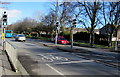
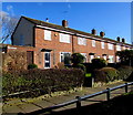
25 photos from this area
Area Information
Key information about the CH64 3SB including its size, population, and administrative classification.
- Area Type
- Postcode
- Area Size
- 1.1 hectares
- Population
- 1665
- Population Density
- 378 people/km²
House Prices in CH64 3SB
33
Properties
£82,177
Average Sold Price
£30,000
Lowest Price
£132,500
Highest Price
Showing 33 properties
| Address | Type | Beds | Baths | Last Sale Price | Last Sale Date | |
|---|---|---|---|---|---|---|
| 25 The Birches, Neston, CH64 3SB | Terraced | 3 | 1 | £132,500 | Jul 2018 | |
| 11 The Birches, Neston, CH64 3SB | Terraced | 3 | 1 | £87,000 | Nov 2015 | |
| 13 The Birches, Neston, CH64 3SB | Terraced | 3 | 1 | £100,000 | Jul 2013 | |
| 19 The Birches, Neston, CH64 3SB | house | - | - | £106,950 | Feb 2008 | |
| 15 The Birches, Neston, CH64 3SB | Terraced | - | - | £125,000 | May 2007 | |
| 20 The Birches, Neston, CH64 3SB | Terraced | 3 | 1 | £101,000 | Aug 2006 | |
| 3 The Birches, Neston, CH64 3SB | house | - | - | £65,000 | Sep 2002 | |
| 5 The Birches, Neston, CH64 3SB | house | - | - | £68,500 | Jul 2002 | |
| 21 The Birches, Neston, CH64 3SB | Terraced | - | - | £53,000 | Oct 2001 | |
| 31 The Birches, Neston, CH64 3SB | Terraced | - | - | £35,000 | Aug 1997 |
Page 1 of 4
Energy Efficiency in CH64 3SB
Amenities
Schools
| Rank | School | Type | Entry gender | Ages |
|---|
Explore more schools in this area
Go to Schools tabDemographics
Household Size
Two person
most common
Accommodation Type
Houses
most common
Tenure
66
majority
Ethnic Group
White
most common
Religion
N/A
most common
Household Composition
N/A
most common
Age
47
median
Adults (30-64 years)
most common
Household Deprivation
N/A
with no deprivation
NS-SEC
31
in Lower managerial occupations
Explore more demographic insights in this area
Go to Demographics tabPlanning
Planning Constraints
- Flood RiskPremium
- Ramsar Wetland SitesPremium
- Area of Outstanding Natural BeautyPremium
- Protected Nature ReservePremium
- Protected WoodlandPremium