Area Overview for CH64 2UG
Photos of CH64 2UG
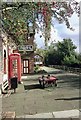
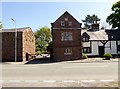


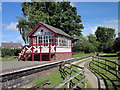
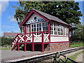
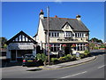
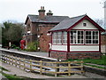
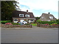
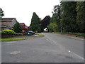
43 photos from this area
Area Information
Key information about the CH64 2UG including its size, population, and administrative classification.
- Area Type
- Postcode
- Area Size
- 1.2 hectares
- Population
- 1349
- Population Density
- 506 people/km²
House Prices in CH64 2UG
20
Properties
£263,750
Average Sold Price
£150,000
Lowest Price
£457,500
Highest Price
Showing 20 properties
| Address | Type | Beds | Baths | Last Sale Price | Last Sale Date | |
|---|---|---|---|---|---|---|
| Trefelyn, 47 Hadlow Road, Willaston, Neston, CH64 2UG | Bungalow | 4 | 2 | £457,500 | Dec 2024 | |
| Willaston Old Hall, Hadlow Road, Willaston, Neston, CH64 2UG | Detached | - | - | £310,000 | Nov 2021 | |
| The Firs, 49 Hadlow Road, Willaston, Neston, CH64 2UG | Semi-detached | 3 | 1 | £168,750 | Feb 2016 | |
| 51 Hadlow Road, Willaston, Neston, CH64 2UG | Bungalow | 3 | 1 | £200,000 | Sep 2014 | |
| 45 Hadlow Road, Willaston, Neston, CH64 2UG | Bungalow | 3 | 2 | £410,000 | Nov 2013 | |
| Smithy Lane Farm, Hadlow Road, Willaston, Neston, CH64 2UG | Semi-detached | - | - | £150,000 | Jun 2003 | |
| Ashtree Farm, Hadlow Road, Willaston, Neston, CH64 2UG | Detached | - | - | £150,000 | Jun 2003 | |
| Meadowview, Hadlow Road, Willaston, Neston, CH64 2UG | Detached | 3 | 2 | - | - | |
| Flat 2, Croft House, Hadlow Road, Willaston, Neston, CH64 2UG | Flat | - | - | - | - | |
| Flat 1, Croft House, Hadlow Road, Willaston, Neston, CH64 2UG | Detached | 4 | - | - | - |
Page 1 of 2
Energy Efficiency in CH64 2UG
Amenities
Schools
| Rank | School | Type | Entry gender | Ages |
|---|
Explore more schools in this area
Go to Schools tabDemographics
Household Size
Two person
most common
Accommodation Type
Houses
most common
Tenure
76
majority
Ethnic Group
White
most common
Religion
N/A
most common
Household Composition
N/A
most common
Age
47
median
Adults (30-64 years)
most common
Household Deprivation
N/A
with no deprivation
NS-SEC
45
in Lower managerial occupations
Explore more demographic insights in this area
Go to Demographics tabPlanning
Planning Constraints
- Flood RiskPremium
- Ramsar Wetland SitesPremium
- Area of Outstanding Natural BeautyPremium
- Protected Nature ReservePremium
- Protected WoodlandPremium