Area Overview for CH63 5LJ
Photos of CH63 5LJ
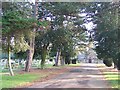
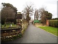
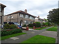
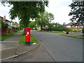
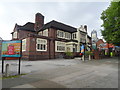
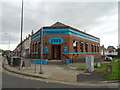
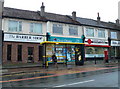
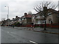

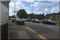
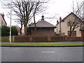
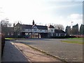
16 photos from this area
Area Information
Key information about the CH63 5LJ including its size, population, and administrative classification.
- Area Type
- Postcode
- Area Size
- 6273 m²
- Population
- 1470
- Population Density
- 4727 people/km²
House Prices in CH63 5LJ
14
Properties
£153,749
Average Sold Price
£44,995
Lowest Price
£310,000
Highest Price
Showing 14 properties
| Address | Type | Beds | Baths | Last Sale Price | Last Sale Date | |
|---|---|---|---|---|---|---|
| 33 Princes Boulevard, Higher Bebington, CH63 5LJ | Semi-detached | 3 | 2 | £310,000 | Jun 2023 | |
| 57 Princes Boulevard, Higher Bebington, CH63 5LJ | Semi-detached | 3 | 1 | £223,000 | Jul 2020 | |
| 45 Princes Boulevard, Higher Bebington, CH63 5LJ | Semi-detached | 3 | 1 | £217,500 | Jun 2017 | |
| 53 Princes Boulevard, Higher Bebington, CH63 5LJ | house | - | - | £172,500 | Oct 2016 | |
| 43 Princes Boulevard, Higher Bebington, CH63 5LJ | Semi-detached | - | - | £135,000 | Feb 2003 | |
| 41 Princes Boulevard, Higher Bebington, CH63 5LJ | Semi-detached | - | - | £68,000 | Oct 1997 | |
| 35 Princes Boulevard, Higher Bebington, CH63 5LJ | Semi-detached | 3 | 2 | £59,000 | Mar 1996 | |
| 51 Princes Boulevard, Higher Bebington, CH63 5LJ | house | - | - | £44,995 | Aug 1995 | |
| 47 Princes Boulevard, Higher Bebington, CH63 5LJ | Semi-detached | - | - | - | - | |
| 55 Princes Boulevard, Higher Bebington, CH63 5LJ | Semi-detached | - | - | - | - |
Page 1 of 2
Energy Efficiency in CH63 5LJ
Amenities
Schools
| Rank | School | Type | Entry gender | Ages |
|---|
Explore more schools in this area
Go to Schools tabDemographics
Household Size
Family (3-5 people)
most common
Accommodation Type
Houses
most common
Tenure
92
majority
Ethnic Group
White
most common
Religion
N/A
most common
Household Composition
N/A
most common
Age
47
median
Adults (30-64 years)
most common
Household Deprivation
N/A
with no deprivation
NS-SEC
42
in Lower managerial occupations
Explore more demographic insights in this area
Go to Demographics tabPlanning
Planning Constraints
- Flood RiskPremium
- Ramsar Wetland SitesPremium
- Area of Outstanding Natural BeautyPremium
- Protected Nature ReservePremium
- Protected WoodlandPremium