Area Overview for CH63 3DW
Photos of CH63 3DW
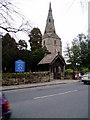
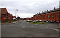
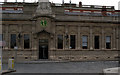
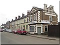
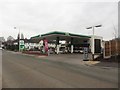
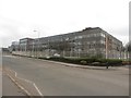
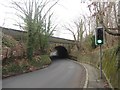
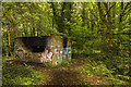
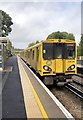
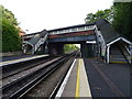
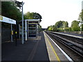
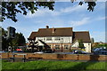
52 photos from this area
Area Information
Key information about the CH63 3DW including its size, population, and administrative classification.
- Area Type
- Postcode
- Area Size
- 6613 m²
- Population
- 1590
- Population Density
- 3136 people/km²
House Prices in CH63 3DW
22
Properties
£148,025
Average Sold Price
£43,000
Lowest Price
£245,000
Highest Price
Showing 22 properties
| Address | Type | Beds | Baths | Last Sale Price | Last Sale Date | |
|---|---|---|---|---|---|---|
| 43 Quarry Road East, Bebington, CH63 3DW | Terraced | 3 | 1 | £205,000 | Jul 2025 | |
| 39 Quarry Road East, Bebington, CH63 3DW | Terraced | 3 | 1 | £218,000 | Dec 2023 | |
| 27 Quarry Road East, Bebington, CH63 3DW | Semi-detached | 3 | - | £180,500 | Jan 2023 | |
| 41 Quarry Road East, Bebington, CH63 3DW | Terraced | - | - | £190,000 | Aug 2022 | |
| 57 Quarry Road East, Bebington, CH63 3DW | house | 3 | 1 | £208,000 | Jun 2022 | |
| 59 Quarry Road East, Bebington, CH63 3DW | house | 3 | - | £220,000 | Dec 2021 | |
| 23 Quarry Road East, Bebington, CH63 3DW | Detached | 3 | - | £183,000 | Jul 2016 | |
| 17 Quarry Road East, Bebington, CH63 3DW | Semi-detached | 3 | 1 | £179,950 | Jun 2016 | |
| 15 Quarry Road East, Bebington, CH63 3DW | house | - | - | £245,000 | Oct 2015 | |
| 51 Quarry Road East, Bebington, CH63 3DW | house | - | - | £138,000 | Sep 2013 |
Page 1 of 3
Energy Efficiency in CH63 3DW
Amenities
Schools
| Rank | School | Type | Entry gender | Ages |
|---|
Explore more schools in this area
Go to Schools tabDemographics
Household Size
One person
most common
Accommodation Type
Houses
most common
Tenure
62
majority
Ethnic Group
White
most common
Religion
N/A
most common
Household Composition
N/A
most common
Age
47
median
Adults (30-64 years)
most common
Household Deprivation
N/A
with no deprivation
NS-SEC
36
in Lower managerial occupations
Explore more demographic insights in this area
Go to Demographics tabPlanning
Planning Constraints
- Flood RiskPremium
- Ramsar Wetland SitesPremium
- Area of Outstanding Natural BeautyPremium
- Protected Nature ReservePremium
- Protected WoodlandPremium