Area Overview for CH62 5EH
Photos of CH62 5EH
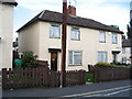
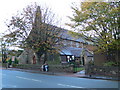
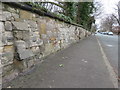
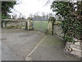

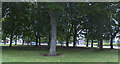
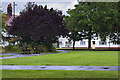
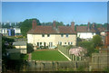


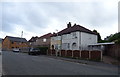
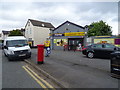
39 photos from this area
Area Information
Key information about the CH62 5EH including its size, population, and administrative classification.
- Area Type
- Postcode
- Area Size
- 4421 m²
- Population
- 1609
- Population Density
- 363978 people/km²
House Prices in CH62 5EH
14
Properties
£141,275
Average Sold Price
£51,950
Lowest Price
£215,750
Highest Price
Showing 14 properties
| Address | Type | Beds | Baths | Last Sale Price | Last Sale Date | |
|---|---|---|---|---|---|---|
| 3 Central Road, Port Sunlight, CH62 5EH | Terraced | 2 | 1 | £215,750 | Nov 2022 | |
| 17 Central Road, Port Sunlight, CH62 5EH | house | - | - | £190,000 | Aug 2021 | |
| 9 Central Road, Port Sunlight, CH62 5EH | Terraced | 2 | 1 | £135,000 | Jul 2019 | |
| 25 Central Road, Port Sunlight, CH62 5EH | Terraced | 2 | 1 | £175,000 | May 2018 | |
| 1 Central Road, Port Sunlight, CH62 5EH | Terraced | 2 | 1 | £79,950 | Sep 1998 | |
| 23 Central Road, Port Sunlight, CH62 5EH | Terraced | - | - | £51,950 | Nov 1997 | |
| 7 Central Road, Port Sunlight, CH62 5EH | Terraced | - | - | - | - | |
| 27 Central Road, Port Sunlight, CH62 5EH | Terraced | - | - | - | - | |
| 15 Central Road, Port Sunlight, CH62 5EH | Terraced | - | - | - | - | |
| 21 Central Road, Port Sunlight, CH62 5EH | Terraced | - | - | - | - |
Page 1 of 2
Energy Efficiency in CH62 5EH
Amenities
Schools
| Rank | School | Type | Entry gender | Ages |
|---|
Explore more schools in this area
Go to Schools tabDemographics
Household Size
One person
most common
Accommodation Type
Houses
most common
Tenure
45
majority
Ethnic Group
White
most common
Religion
N/A
most common
Household Composition
N/A
most common
Age
47
median
Adults (30-64 years)
most common
Household Deprivation
N/A
with no deprivation
NS-SEC
31
in Lower managerial occupations
Explore more demographic insights in this area
Go to Demographics tabPlanning
Planning Constraints
- Flood RiskPremium
- Ramsar Wetland SitesPremium
- Area of Outstanding Natural BeautyPremium
- Protected Nature ReservePremium
- Protected WoodlandPremium