Area Overview for CH62 2BY
Photos of CH62 2BY
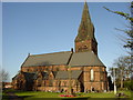
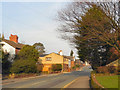
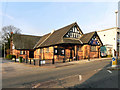

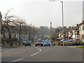
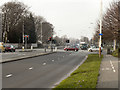
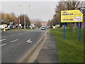
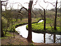
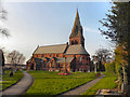
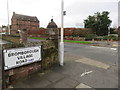
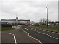
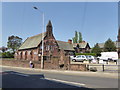
46 photos from this area
Area Information
Key information about the CH62 2BY including its size, population, and administrative classification.
- Area Type
- Postcode
- Area Size
- 9851 m²
- Population
- 1648
- Population Density
- 4653 people/km²
House Prices in CH62 2BY
13
Properties
£321,430
Average Sold Price
£157,000
Lowest Price
£587,500
Highest Price
Showing 13 properties
| Address | Type | Beds | Baths | Last Sale Price | Last Sale Date | |
|---|---|---|---|---|---|---|
| 9A Uplands Road, Bromborough, CH62 2BY | Bungalow | 5 | 2 | £587,500 | Aug 2025 | |
| 5 Uplands Road, Bromborough, CH62 2BY | house | - | - | £463,776 | Mar 2024 | |
| 3 Uplands Road, Bromborough, CH62 2BY | house | - | - | £550,000 | Feb 2022 | |
| Heath Cottage, 1 Uplands Road, Bromborough, CH62 2BY | house | - | - | £445,000 | Dec 2021 | |
| 17 Uplands Road, Bromborough, CH62 2BY | Semi-detached | 3 | 1 | £190,000 | May 2021 | |
| 19 Uplands Road, Bromborough, CH62 2BY | house | - | - | £182,000 | Oct 2014 | |
| Malvern, 13 Uplands Road, Bromborough, CH62 2BY | house | - | - | £180,500 | Nov 2013 | |
| 7 Uplands Road, Bromborough, CH62 2BY | Detached | - | - | £400,000 | Nov 2012 | |
| 11 Uplands Road, Bromborough, CH62 2BY | Semi-detached | - | - | £200,000 | Jul 2007 | |
| 15 Uplands Road, Bromborough, CH62 2BY | Semi-detached | 3 | 1 | £179,950 | Aug 2006 |
Page 1 of 2
Energy Efficiency in CH62 2BY
Amenities
Schools
| Rank | School | Type | Entry gender | Ages |
|---|
Explore more schools in this area
Go to Schools tabDemographics
Household Size
One person
most common
Accommodation Type
Houses
most common
Tenure
59
majority
Ethnic Group
White
most common
Religion
N/A
most common
Household Composition
N/A
most common
Age
47
median
Adults (30-64 years)
most common
Household Deprivation
N/A
with no deprivation
NS-SEC
26
in Lower managerial occupations
Explore more demographic insights in this area
Go to Demographics tabPlanning
Planning Constraints
- Flood RiskPremium
- Ramsar Wetland SitesPremium
- Area of Outstanding Natural BeautyPremium
- Protected Nature ReservePremium
- Protected WoodlandPremium