Area Overview for CH61 9PW
Photos of CH61 9PW
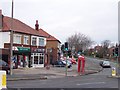
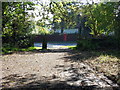
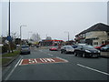
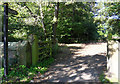
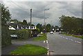

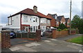
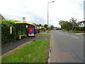
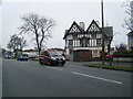
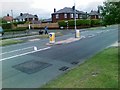
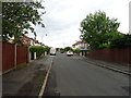
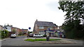
12 photos from this area
Area Information
Key information about the CH61 9PW including its size, population, and administrative classification.
- Area Type
- Postcode
- Area Size
- 7677 m²
- Population
- 1540
- Population Density
- 1563 people/km²
House Prices in CH61 9PW
17
Properties
£212,246
Average Sold Price
£51,000
Lowest Price
£292,000
Highest Price
Showing 17 properties
| Address | Type | Beds | Baths | Last Sale Price | Last Sale Date | |
|---|---|---|---|---|---|---|
| 16 Heswall Mount, Thingwall, CH61 9PW | Bungalow | 2 | 1 | £265,000 | Apr 2025 | |
| 42 Heswall Mount, Thingwall, CH61 9PW | Bungalow | - | - | £260,000 | Feb 2025 | |
| 44 Heswall Mount, Thingwall, CH61 9PW | Semi-detached | 3 | 2 | £285,000 | Sep 2024 | |
| 28 Heswall Mount, Thingwall, CH61 9PW | Detached | 3 | 1 | £292,000 | Oct 2023 | |
| 22 Heswall Mount, Thingwall, CH61 9PW | Bungalow | - | - | £267,450 | Jun 2022 | |
| 26 Heswall Mount, Thingwall, CH61 9PW | Bungalow | - | - | £220,000 | Dec 2020 | |
| 40 Heswall Mount, Thingwall, CH61 9PW | Bungalow | - | - | £232,500 | Oct 2015 | |
| 20 Heswall Mount, Thingwall, CH61 9PW | Bungalow | 2 | 1 | £220,000 | Aug 2015 | |
| 14 Heswall Mount, Thingwall, CH61 9PW | Bungalow | 2 | - | £230,000 | Dec 2014 | |
| 30 Heswall Mount, Thingwall, CH61 9PW | Semi-detached | - | - | £148,000 | Oct 2006 |
Page 1 of 2
Energy Efficiency in CH61 9PW
Amenities
Schools
| Rank | School | Type | Entry gender | Ages |
|---|
Explore more schools in this area
Go to Schools tabDemographics
Household Size
Two person
most common
Accommodation Type
Houses
most common
Tenure
91
majority
Ethnic Group
White
most common
Religion
N/A
most common
Household Composition
N/A
most common
Age
47
median
Elderly (65+ years)
most common
Household Deprivation
N/A
with no deprivation
NS-SEC
38
in Lower managerial occupations
Explore more demographic insights in this area
Go to Demographics tabPlanning
Planning Constraints
- Flood RiskPremium
- Ramsar Wetland SitesPremium
- Area of Outstanding Natural BeautyPremium
- Protected Nature ReservePremium
- Protected WoodlandPremium